Saturday, November 13, 2010

RELAXING DAY & A DRIVE TO CAVE CREEK & PORTAL, ARIZONA

DSC_9134

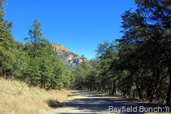
A DRIVE THROUGH CAVE CREEK

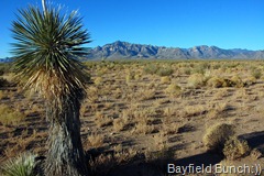
The desert night dropped to 32F but that’s the way it is here in what they call the high desert.  Our altitude is higher than places like Yuma where days & nights are warmer.

DSC_9122

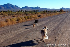
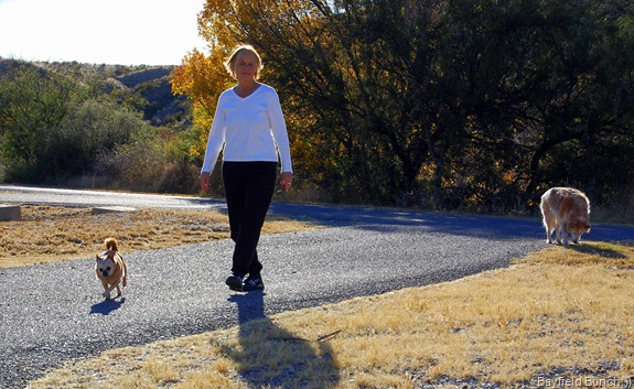
SITE 38 ALLOWED US TO WALK THE GUYS ON A DIRT ROAD THIS MORNING

DSC_9130 DSC_9126 DSC_9127

DSC_9125

DSC_0008DSC_0003

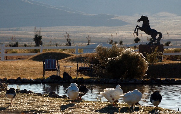
A FEW PICS AROUND RUSTYS

Nice walk this morning & we could tell the dryer air is already helping Max’s arthritis.  Instead of lagging behind he was out front most of the time.  Nice to see because he has been having trouble with his legs.

DSC_0001

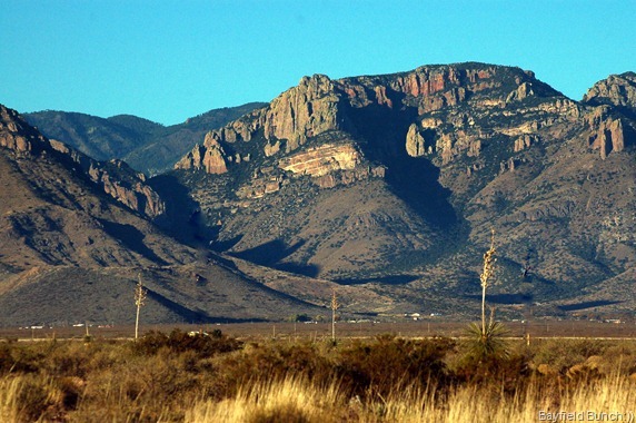
PORTAL IS AT THE BASE OF THE CHIRICAHUA’S ON THE RIGHT HAND SIDE

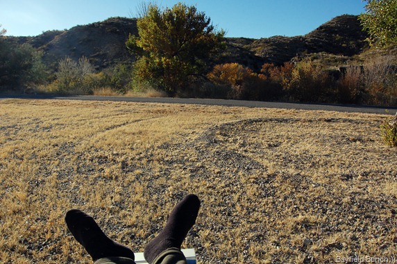
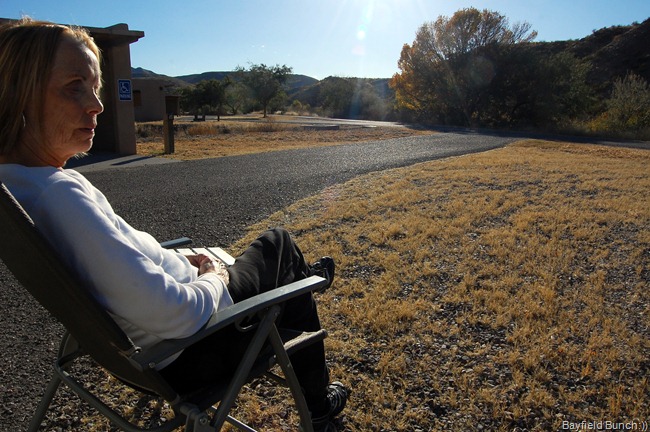
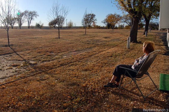
We deliberately didn’t do anything this morning except lounge in our outside recliners soaking up more fresh air & sunshine.  Despite the cool nights, it always warms up nicely every day.

DSC_9137

DSC_9143 DSC_9141 DSC_9140

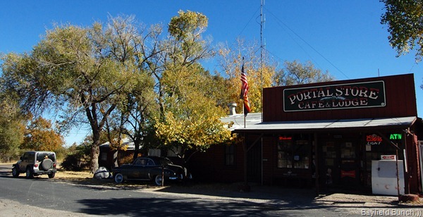
We jumped into the Jeep just after lunch & drove the short 5 or 6 miles to Portal, Arizona.  This was our third time in Portal & it was nice to see nothing had changed & everything looked the same since our last visit.   Portal is a unique & very quaint little place that time has kind of passed by.  Basically speaking, there is one General Store, a Post Office, & a Library.  No streets or suburbs.  No permanent population to speak of either.  An old dusty road runs in front of the store & down aways to a turn around where the Library & Post Office are.  A few other old buildings & that is all there is to Portal.  But, it is a place like no other, & one which I will always remember.  The General Store is the community hub & has a popular lunch bar in the back.  John McAfee, founder of McAfee antivirus software hung out here for a bit.  In fact, he hung out a lot in this valley a few years ago.  Type his name into our search box at the top of the right hand column & see what we found left of his time here.

 DSC_9139

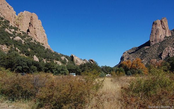
SUNNY FLATS CAMPGROUND IN CAVE CREEK

DSC_9138 DSC_9136 DSC_9135

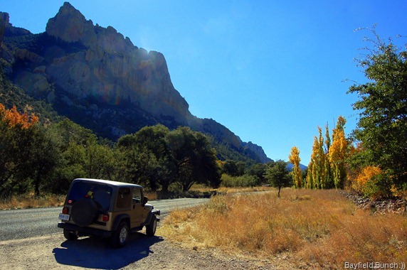
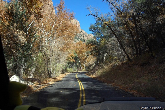
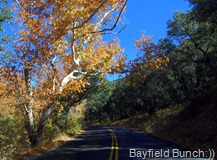
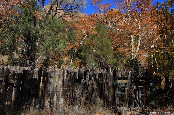
The road past Portal leads into the beautiful Cave Creek area which is a birder’s paradise.  It’s a beautiful time of year to be in Cave Creek with it’s shimmering golden leafed Aspen & Sycamore trees.  JoAnne is right in making her Cave Creek comparison to Zion Canyon & I can identify with Doug’s feeling of spiritual pulls in certain areas.  Cave Creek is on a much smaller scale of course but the towering canyon walls & mountains towering over the green & gold forested floor makes this area a ‘must see’ for anyone traveling in the area.  And, it’s only about a half hours drive or so south from Interstate 10.  East of Benson or west of Lordsburg just take highway 80 south heading for Rodeo, New Mexico.  Turn right at the Chiricahua Desert Museum & Portal is only another 3 miles or so up the road….in Arizona.  And, if your going to spend a few days in the area (recommended) then be sure to stop into Rusty’s RV Ranch. 

DSC_9152

DSC_9153 DSC_9148 DSC_9147DSC_9146 DSC_9150 DSC_9154DSC_9144

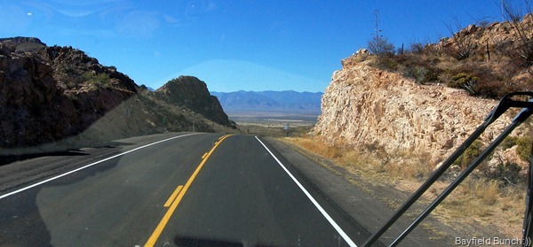
NICE DAY FOR A DRIVE IN CAVE CREEK

Rusty’s is one of the very few RV Parks we like.  Both times here, Rusty has put us in a site on the outside road, close to the dog walking area, & not near other RV’s.  It just makes life so much easier for everybody that way, especially when Kelly has to contend with 3 dogs… & me!!

DSC_9160

DSC_9164 DSC_9161 DSC_9162DSC_9158

We both still felt tired from the weeks trip so we didn’t get into any hikes today.  Many trails in the Cave Creek area but we just didn’t have the energy.  It was back to the rig before 2 & we spent the rest of the day enjoying the peace & quiet of the southwest.  Had planned on staying here one more day but there is a rally rolling in tomorrow & we know the site beside us, just a few feet away, has a rig booked in.  So, as some of you readers know, that is too close to people for the Bayfield Bunch so we will be skee-daddling right on out of here tomorrow morning heading for the ranch over on the other side of the Chiricahua Mountains.

DSC_0002DSC_0013

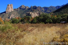
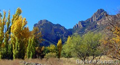
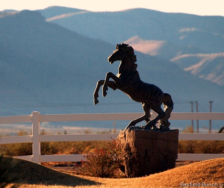
THE CHIRICAHUA’S BY MORNING & EVENING LIGHT

DSC_0004

GROANER’S CORNER...  During training exercises, the lieutenant who was driving down a muddy back road encountered another Jeep stuck in the mud with a red-faced colonel at the wheel. "Your jeep stuck, sir?" asked the lieutenant as he pulled alongside.
"Nope," replied the colonel, coming over and handing him the keys, "Yours is."

--------------------------------------------------------------

Tourists see the world, travelers experience it.

BLOGGER WEBSITE http://thebayfieldbunch.com/

OUR PHOTO ALBUMS http://picasaweb.google.com/stargeezerguy/

The only thing better than right now will someday be the memories of right now...... AL.

Friday, November 12, 2010

TRUTH OR CONSEQUENCES TO RUSTY’S RV RANCH NEAR RODEO, NEW MEXICO….THE RUSH IS OVER:))

DSC_9119

TUCKED IN AT RUSTY’S RV RANCH

Managed to get a few more blogs read this morning so that was a plus.  Kelly needs the computer for work related issues first thing in the morning as well but once we land in one spot for any length of time we’ll make the necessary changes to our internet routines.

DSC_9107

FIRST GLIMPSE OF THE CHIRICAHUA MOUNTAINS ON THE HORIZON

In Thursday night’s post I mentioned about not taking an alternate route around Albuquerque New Mexico because our Mountain Directory book told us of some poor roads.  Don from Brandon Manitoba sent us an email this morning about that route which may be of interest to other travelers in the area…. “Al - for future info if you had gone south at Santa Rosa on Hwy 54 to Vaughn then west on 60 to I25 about 30 mi north of Socorro you would have saved a lot of miles -All good roads NO high mtn passes. How do I know?? This was on our route to Az for 15 years. Would highly recommend it as we don’t like city traffic either!

Our Wilson antennae sure came through for us in our Truth Or Consequences overnight location.  Being surrounded by hills we could only get one fuzzy TV channel so didn’t hold out a lot of hope for a Verizon connection.  In fact, we only had one bar & it wouldn’t connect.  A couple years ago while in Borrego Springs CA we bought a ‘Wilson’ antennae to help with weak signals & last night it was that antennae that gave us a super fast Verizon connection despite only having 2 of 4 bars lit.  Set the antennae on the dash, plugged into the Verizon modem & we were off like a herd of turtles in a cloud of heifer dust.

DSC_9110

HEADING INTO THE SAN BERNARDINO VALLEY

I was surprised by the pitter patter of rain on the roof last night but around 4:30 when I took Max out there were a ka-zillion twinkling stars in the light pollution free inky black New Mexico sky overhead.

DSC_9111

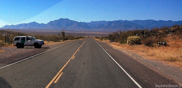
THIS CLOSE TO MEXICO THE BORDER PATROL IS ALWAYS PRESENT

By 6:50 a.m. we were rolling quietly out of sleepy Truth Or Consequences & southbound on I-25.  A good tip from Bill in Illinois this morning reminded me of the route from I-25 through Hatch to Demming.  Thanks Bill, I would have forgot about that & ended up doing battle in Las Cruces this morning.  What a great drive it was in the early morning light on that road to Deming.  I recognized some old friends right away.  Cooke’s Peak, the north end razor backed mountain of the Little Florida Mountain range just south east of Deming & the Three Sisters mountain cluster down near Columbus.  I don’t know what it is about geographical points but they have a definite pull on me.  Just as the night sky does.  And, just like the movie years ago, Close Encounters Of A Third Kind’ that ‘Three Sisters’ cluster on the southern horizon from I-10 has always called to me ever since first being in that area back in December of 06.

DSC_9106

CHIRICAHUA MOUNTAINS DEAD AHEAD

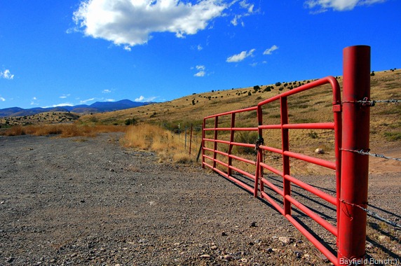
We popped into McDonald’s in Deming & then hit I-10 west motoring through Lordsburg to the highway 80 exit & hung a left heading south.  Can’t even begin to tell you what a great feeling it was to see the mighty Chiricahua Mountain range appear ahead as the road curved west through the lower Peloncillo range.  It felt like our old neighborhood & home.  I could see the Cave Creek Canyon dead ahead & knew Portal Arizona lay at the head of that canyon. 

DSC_9113

THE CAVE CREEK CANYON ENTRANCE IS DIRECTLY ABOVE THE ROAD & RUSTY’S RV RANCH IS ABOUT 6 MILES TO THE LEFT ON THE VALLEY FLOOR

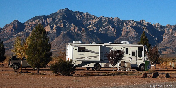
Rolled into RUSTY'S RV RANCH about 11:15 a.m.  Rusty was her usual cheery self & had her Dad lead us to our # 38 site.   In fact, she put us in the same site Doug & JoAnn were in just a few short weeks ago.  (can’t get their blogsite to open)

We are only an hours drive from our ranch sitting job now so our hard drive from Ontario is over.   Hooked up some water & electricity, pulled out a couple lawn chairs, tipped ourselves back & totally soaked up a big dose of warming southwest sunshine.  As Jackie Gleason of the Honeymooners used to say, “how sweet it is:))”

DSC_9117

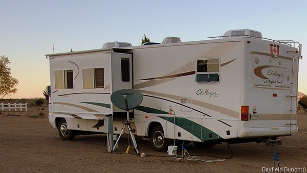
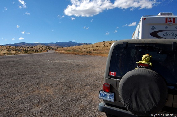
I ALWAYS PUT THE TV DISH IN THE LEE OF THE SLIDE TO GIVE IT SOME PROTECTION FROM THE WILY WEST WINDS

I took a lot of pics of Rusty’s last year so no point in repeating them.  If anyone is interested in my posts & pics from a year ago just type Rusty’s RV Ranch in my blog’s search bar.  Pics can be found in our PICASA WEB ALBUMS under the dates November 1,2, & 3 of 2009.

We sure had a rough time setting up our Star Choice satellite program for the first time since the Lost Dutchman Park in Apache Junction last March.  Had to re-acquaint ourselves with Azimuth, Skew & Latitude etc.  Programs had to found on the computer.  I always do the manual dish set up & Kelly does the inside brainy stuff.  Today it took 7 phone calls (thank heavens for Skype) to Star Choice before we  successfully had a satellite connection.  They finally had to do a factory reset on our receiver…..amongst a half dozen other things.

  DSC_9073-1     DSC_9069-1

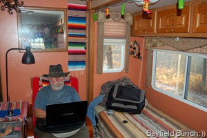
THIS IS WHERE I GENERALLY WRITE THE BLOGS

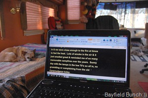
As I watched Kelly patiently & efficiently dealing with all the tech stuff for over an hour this afternoon I couldn’t help but feel that those days are behind me now.  I just don’t have the tolerance, patience or interest for all that techie stuff anymore.

No doubt we will be up at the crack of dawn tomorrow morning because that’s just the way we are but we sure won’t be dashing off down the road anywhere.  From here on in we will just kinda be blowing along with the wind…..wherever that wind may take us.  And you know what, for us, it just doesn’t get any better than that.  And, guess what…..Rusty’s has free wireless internet, so for now we both are contentedly on our laptops at the same time:))  

DSC_0013

THE RUGGED PEAKS OF THE CHIRICAHUAS

GROANER’S CORNER:((  What do you call a snake who works for the government ? A civil serpent!

-------------------------------------------------------------

The only thing better than right now will someday be the memory of right now…AL.
Thursday, November 11, 2010

DALHART TEXAS TO TRUTH OR CONSEQUENCES, NEW MEXICO…..YAAAAY, WE ARE FINALLY IN CACTUS LAND:))

DSC_9095

SOOOO NICE TO BE BACK IN THE SOUTHWEST:))

Aha, I was up by 3 a.m. & managed to get a few blogs read & commented on before the Big Cheese swept out of the bedroom & wrestled the Verizon modem away from me again.  Yep, we definitely have to do something about this ‘sharing’ the internet thing alright…………… and soon!!

IMG_2691 IMG_2692 IMG_2693

GREAT TO SEE MOUNTAINS EAST OF ALBUQUERQUE ON I-40

One of the reasons we don’t dilly-dally around when we head for the southwest at this time of the year is weather.  We’re not cold weather people so the sooner we can get our assparagus’s into the warmer southern air the better because winter storms can suddenly sweep in at any time.  We have really been lucky so far in our few days of traveling in that the daytime temps have been hovering around the 70’s mark with night time lows in the 50’s.  Saves on propane at night trying to keep warm too.  Also, our prime focus is the American Southwest which we now consider our second home, so the sooner we can get there & get ourselves into the mountains, canyons & deserts, the better we feel:))

DSC_9094

REST AREA NEAR SOCORRO, NM

We were on the road by 6:30 this morning heading in a southwesterly direction on highway 54.  And, that meant another big orange fiery sunrise.  An hour later we crossed the New Mexico State line & for me, that is the beginning of the great Southwest.  Ten minutes later I caught my first glimpse of mountains ahead on the distant haze shrouded horizon.  One small mountain stood out, which later turned out to be Tucumcari Mountain & this is where we  climbed aboard I-40 at, where else, Tucumcari.  Ya have to wonder how names of places are decided sometimes.  When did TWO people COME & what did they CARRY?

DSC_9098

DSC_9097    DSC_9096

BACK IN THE SAME SPOT WE WERE NEARLY 3 YEARS AGO IN TRUTH OR CONSEQUENCES, NM

I had thought we would have been into some mountains west of Tucumcari but most of the way to Albuquerque was large rolling hills.  I think this stretch of Interstate has about the worst billboard pollution I have seen anywhere.  How tacky, & that’s all I will say about that!!  My map had shown me a little place called Santa Rosa about half way between Tucumcari & Albuquerque with some roads & highways running south & then west over to near Socorro.  I figured it would be a nice alternative to dealing with the Albuquerque traffic madness.  Well, it looked good in theory until we checked our ‘Mountain Directory’ book.   We would ‘NOT’ be taking those roads through the mountains!!   No choice but to don helmets & flak jackets, load the canons, set phazers on stun, energize the protective force shield & head into the city to do battle with the Albuquerquian traffic storm trooper drivers.  Kelly prepped Garmin Gertie for action & GG led the charge taking us right through the thick of the driving, directing us fearlessly & faultlessly through the heavy late morning traffic depositing us safely on I-25 headed south for Las Cruces, New Mexico.

DSC_9100

GREAT TO BE BACK IN CACTUS LAND

A stop in Socorro for fuel & we headed for some old familiar territory another hours drive south on 1-25.  We spent a few days in Truth Or Consequences 3 years ago at a really nice little gem of a place called the Dam Site Recreation Area.  Most people know about Elephant Butte State Park but not many know about this place just south of the park.  No electricity or water at the sites but there are hot showers, washrooms & each site has a Casita & BBQ.  This quiet restful place is just on the edge of town & only steps from the scenic Rio Grand River.  And, we are in the exact same spot we were 3 years ago.  And, best part of all…..yep, you guessed it….we are the only ones here:))  And, I should mention that we haven’t had to pay a penny for any of our over night stays on this trip so far.  Generally, nobody comes around to collect the small nominal County Park fees & as a rule there is nowhere to leave the 6 or 7 dollars it might cost.  We did pay $7 a night here in T&C three years ago though.  Ten dollars now but we haven’t seen any Park staff so far.

DSC_9104

It was from this same spot 3 years ago that we did our day trips to the historic little ghost towns of, CHLORIDEMONTICELLO & HILLSBORO.  This was Apache territory in the late 1800’s & these towns bore the brunt of Indian attacks.  Be sure to check out our blog & photos from our days in & around T&C.  Go to T & C WEB ALBUMS & scroll down to Albums 80 to 85 or Feb 25, 26, 28, 29 plus March 1 & 2, 2008.  The traveling Vietnam Vets Memorial Wall is here in T&C too & I have pics of that plus the Elephant Butte lake area.

DSC_9102

AND THIS WAS OUR FRONT YARD LATER THIS AFTERNOON

No idea where we will end up tomorrow night but you can be assured it won’t be anywhere north east of here!!  And, just exactly where we will be next week at this time is an unknown as well because as previously mentioned….the winds of change have been blowing in the McNeal Arizona area & we could be into a slightly new adventure in a few days.  When we know for sure…..we will let you know for sure………10-4:))

DSC_9101

THE BIG CHEESE ENJOYS ANOTHER DAY:))

GROANER’S CORNER:))  Why are blonde jokes so short?  So men can remember them.

-------------------------------------------------------------------

The only thing better than right now will someday be the memories of right now….AL.

Wednesday, November 10, 2010

LINDSBORG KANSAS TO DALHART TEXAS….GOOD THING WE HAD OUR ‘HERBY GO-FAST TIRES ON TODAY

DSC_9089

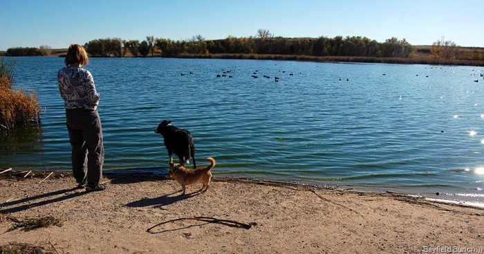
WE ARE NEAR A LAKE FOR THE NIGHT

Our old arch enemy, the notoriously nasty southwest winds not only welcomed us into Kansas yesterday but  rattled & rolled us right up & into the wee hours of the morning.  However, we were both too tired to let the winds have their way with us & we both had a sound night’s sleep.  Well, at least until Kelly sneaked out & commandeered the Verizon modem before I did this morning!!

IMG_2690

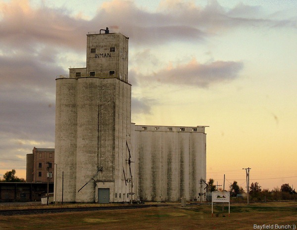
WE SAW A LOT OF THESE TYPES OF BUILDINGS ACROSS KANSAS TODAY AND THIS ONE WAS IN HUTCHINSON

It was 6:10 this morning when we tippy toed out of the McPherson Old Mill County Park in Lindsborg Kansas, trying not to disturb a Class B van parked nearby.  We were the only two units in the Park & we never really saw the other folks.  By the way, all County Parks we have stayed at have been well lit at night.

DSC_0008

We headed south on 135 for about 20 miles & hung a right onto highway 61 through Hutchinson to Pratt.  Had we continued south of 135 we would have plowed right into Oklahoma City & of course that was not acceptable!!  In Pratt we climbed aboard highway 54 for the long slide down to the southwest heading for New Mexico.  The landscape leveled out as we rolled along a nice two lane highway enjoying cotton fields, cattle farms, about a dozen & a half small towns & little whistle stops.  Downside of this route was the number of big 18 wheelers on the road.  Good thing we had on our ‘Herby Go-Fast’ tires today because those truckers don’t like being held up by RV tourist types doddling along in front of them.

DSC_0010

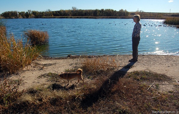
We have another Campground book we use besides Days End & Kelly found us a spot for the night in the town of Dalhart, Texas.  The Park is at the south end of town & called the Rita Blanca Lake County Park & yep, there is even a lake here with lots of bird life.  Good Verizon signal at this park too, but only one TV channel which is of course is filled with nothing but night time garbage television shows anyway!!  Now that we are on the western side of the States we use ‘Don Wright’s Guide To Free Campgrounds.’ (Western Edition)  Works well.  And, the link for the Escapee’s Day’s End book is DAY'S END DIRECTORY.

DSC_9086

I managed to remember a few readers questions today so before I forget again, here goes…. First, somebody asked about egg salad sandwiches….. haven’t seen any coming up from the Galley yet this trip but I did snag a couple home made chocolate chip cookies this morning.  Kinda the same thing, right?   Brandon Don, HWH said the brake recall guys may have arced a wire while doing the recall & that could have blown the fuses.  Hermit, the keys hanging beside the door are on good hooks & won’t fall down & out of the rig.  Phil, when I look at the rear view camera monitor I see the Jeep as I would see it if I turned my head….I think.  Hey Louisberg Larry, we missed your big wave in Kansas or was that you blowing by the windshield upside down in one of those big Kansas wind gusts.

DSC_9091

RITA BLANCO LAKE COUNTY PARK….OUR OVERNIGHTER SPOT FOR WEDNESDAY NIGHT

Although we have two computers onboard we have only one internet connection at a time so that means having to share the Verizon UMB modem.  It boils down to whoever gets up first & snags the it.  This morning Kelly was first up grabbed it before I could even scramble out of my sleep.   I usually read & comment on blogs early in the morning but that hasn’t been the case since we left home.  I think we had better move our ‘Cradle Point Router’ plans up to the front burner…..toot sweet!! 

DSC_0006

DSC_9093

I THINK WE WERE AROUND 70F AGAIN TODAY

A big thanks to Ed in the comment section for pointing out my geography error in last night’s blog title.  I had Lindsborg incorrectly located in Iowa instead of KANSAS where it really is.  Just one of those ‘tired at the end of the day’ oversights.

DSC_9092

GROANER’S CORNER:{  I overheard the receptionist admit to another customer, "I haven't taken my vitamins today.  I'm walking around unprotected."  The customer commiserated with her, but then added, "I haven't taken my Prozac today so everyone's walking around unprotected!!"