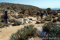
JAN & MIKE ON LEFT GIVING AN INFORMATIVE TALK ABOUT GHOST MOUNTAIN BEFORE THE HIKE
When I'm able to start the blog off without complaining about the wind you will know that we have probably left the Southwest. We were both up in the middle of the night again retracting slides before the wind ripped the awnings off. Needless to say I was awake a big part of the night & this morning I felt like I'd been run over by a road grader.
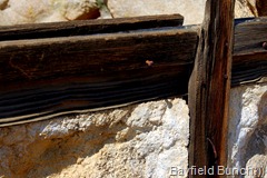
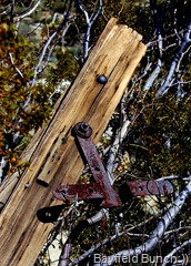
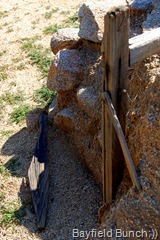
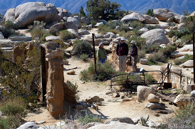
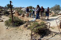
SOME YAQUITEPEC RUINS
Sometime in the night our Sitemeter recorded over 100,000 hits on our site since starting the blog. "WoW, who would have ever thunk it!! Thanks folks:))
Had to be over in Blair Valley by 9 a.m. to meet a group of people for an organized hike up Ghost Mountain to the Marshal South homestead site. It's close to an hour's drive through the twisting & winding Yaqui Pass southwest of here so I was out the door & on my way by 7:30.
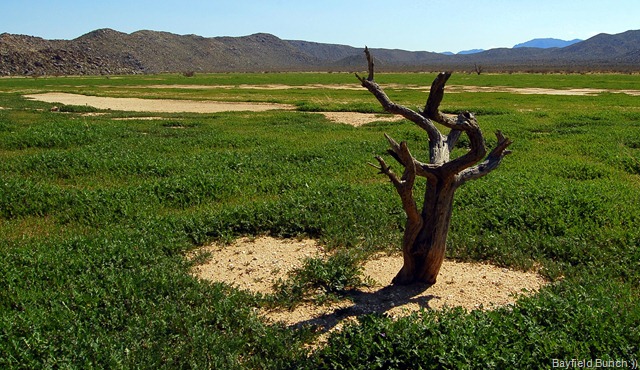
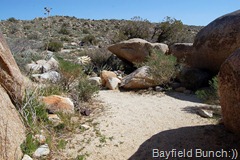
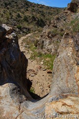
IN THE BLAIR VALLEY
Beautiful morning & I enjoyed the challenge of the drive as it took me back many years to those snappy sports car days of old. When you can hear the tires squeal a bit in the curves you know your having a fun time:))
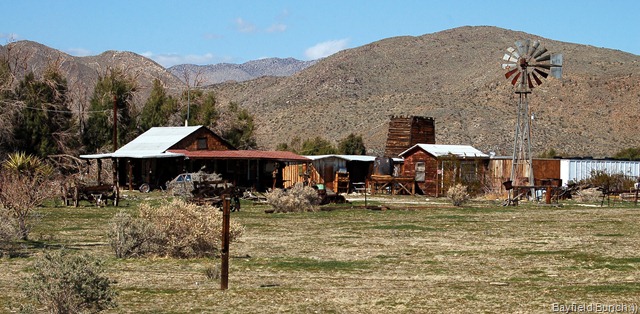
A PROPERTY NEAR SHELTER VALLEY
This was my 3rd trip to Ghost Mountain & I couldn't help but think back 2 years ago when Kelly & I first drove out to Blair Valley in search of a place where a family had eked out an existence back in the 30's & the 40's. That day standing atop Ghost Mountain in the few sparse ruins of the Marshall South homestead made a lasting impression on me & I came down of the mountain that day with a fascination for the man, his family, & their story. Bought the book, 'Marshall South & the Ghost Mountain Chronicles' & my interest deepened. This is the BLOG I wrote that day & these are the PHOTOS
SMALL WORLD...Couple on right lived in London Ontario back in the early 60's & had a cottage in Grand Bend. Grand Bend is a 20 minute drive south of Bayfield where we live. (Standing in the homestead ruins)
Last year while boondocking near Borrego Springs I blogged about plans to hike up Ghost Mountain again. A few days later we received an email from director John McDonald who had done a documentary about Marshall South & the Ghost Mountain story. John & his wife Lydia were camping in the area & said the 'Ghost Mountain' alert program on his computer kept showing him people were clicking on a site called, The Bayfield Bunch because of the blog I had written about our hike the year before. To make a long story short Kelly & I drove out to Ghost Mountain a few days later & I hiked up to the top again. Kelly was nursing a sore ankle at the time so waited at the bottom. By the time I came down John & Lydia had arrived at the foot of Ghost Mountain & we were able to meet them & pick up a copy of his documentary. Here is my BLOG & PHOTOS of that day.
STRONG WINDS ARE BLOWING HEAVILY ON MIKE'S HAT (click pics to enlarge)
I knew our stay at Borrego Springs this year would not be complete if I didn't hike myself up to the Marshall South site again so I had been watching for an organized hike this time. I knew hike leaders would be able to point out things I had missed before.....and so they did.
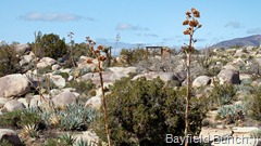
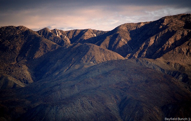
GHOST MOUNTAIN IS IN THE BACKGROUND AT THE TIP OF THE TALLEST BRANCH ON THIS OLD TREE
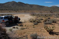
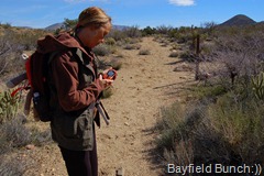
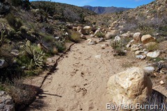
Turned off highway S2 for the 3 mile hard packed sandy drive along a bumping road to the meeting point at the bottom of Ghost Mountain. Met hike leaders, Mike & Jan Bigelow. Six other people arrived & after an informative talk by our hike leaders we were in single file making our way up the steep, narrow, & rocky switch back trail leading to Yaquitepec. About a quarter of the way up two separate hikers cell phones rang & I thought, wonder what Marshall South would have thought of all this modern technology on the trail.
SEPARATE CELL PHONES RANG AT THE SAME TIME
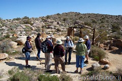
Jan led the hike while husband Mike brought up the rear. We had a couple of informative rest spots on the way up & then crested the last ridge & walked the short distance to the ruins. Questions were asked & answered standing amidst the homestead remains & the group split up to explore around & take some photos. Time there lasted about 25 minutes & the group reformed for the hike back down the nearly mile long rocky path. Everybody but me of course.
TODAY'S GROUP AT YAQUITEPEC
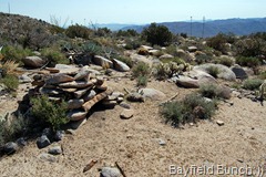
From the first time I set foot in the ruins of Yaquitipec 2 years ago I was aware of a very special feeling. That feeling returned last year on my second hike when I spent about 40 minutes wandering around the site by myself. And that feeling was present again today as I walked around looking at a few spots mentioned in the book. Jan had pointed out to me the very spot Marshal South had sat among the rocks to write his many Desert Magazine articles. She also pointed out the rock piled kiln they used.
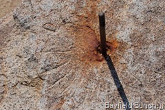
ROCK PILE KILN & MARSHALL SOUTH'S SUNDIAL
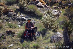
It was quiet on the mountain after the group left except for the cool & heavy west winds blowing across the ridge. it made a howling sound in some of the tall Agave stocks. I had brought a thermos of coffee & a nature bar with me & what better place to drink my hot coffee than in the exact same spot Marshall South sat with his old typewriter on his lap. He had mortered up a short wall of stones between two large boulders in the lee of a pinion Juniper. It blocked him from the sometimes howling chilly winds & gave him a quiet secluded refuge not far from the house. I could look out & see the exact same landscape this writer, spinner of tales, & talented craftsman could see some 70 years ago. It was a special moment for me & a cup of coffee in a place I shall always remember.
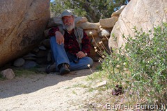
THIS IS WHERE MARSHALL SOUTH CAME TO WRITE HIS ARTICLES FOR THE DESERT MAGAZINE AND THE VIEW HE HAD SITTING THERE
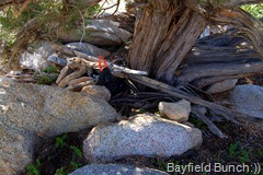
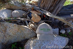
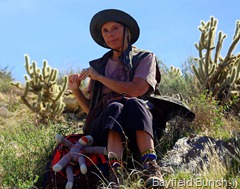
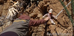
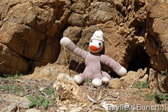
I ambled around the site taking a few photos, looked at the kiln, & then took Socky Geepers out of my bag & did a little photo shoot with him around the site. It was after I had take the photo of Socky in the old 'wading pool' that I turned around & saw something orange underneath a Juniper tree. Upon closer inspection I saw a dark garbage bag wrapped around something. Moved some rocks & twigs away & felt that there was something hard & rectangular in the garbage bag. Carefully lifted it out & looked inside the bag. I had just accidentally discovered a Geocache. First one I have ever seen. It was a metal military ammunition box. Opened the lid & discovered a treasure trove of articles that other folks had left inside. A religious pamphlet, some lip balm, business cards, some coins, & maybe a half dozen other things. A zip lock bag contained a list of people's names & the dates they had been there since the cache was left at this site back in 2008. A small piece of paper had children's drawings on it. I recognized a rocket ship. Only thing I had to leave was a Bayfield Bunch card. Carefully put everything back & re-wrapped it all up in it's garbage bag. Placed it under the tree & put some rocks & twigs over it. Later wished I would have thought to look for information on who put it there & what the co-ordinates were. Next time I will know what important things to look for.
THE GEOCACHE AS I FOUND IT, SOCKY GEEPERS DISPLAYS THE CONTENTS, & THE GEOCACHE AS I LEFT IT (Socky Geepers is with me:))
The unrelenting winds finally worked their way through my clothes & I began to feel the cold creeping in. It was time once again to leave Yaquitepec. I had been there alone on the mountain for a whole precious hour. As twice before, I said good-bye to the many mountain spirits present here. The Indian people who inhabited the mountain & roasted Agave stocks & hearts nearby. Goodbye to the spirits of Tanya & Marshall South. Goodbye to Yaquitepec & goodbye to Ghost Mountain. I hope to one day pass this way again.
GOODBYE YAQUITEPEC......I'LL TRY TO MAKE IT BACK AGAIN NEXT YEAR:))
MARSHALL SOUTH & GHOST MOUNTAIN - THE STORY
PHOTOS OF MARSHAL SOUTH'S FINAL RESTING PLACE - JULIAN CEMETERY
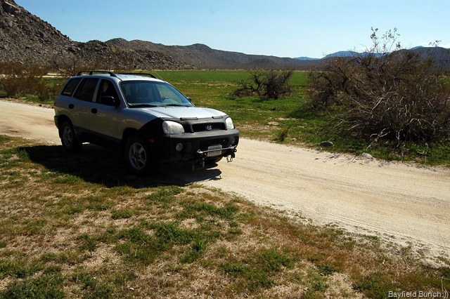
I was down the mountain & in the car headed back across Blair Valley in the direction of Borrego Springs by 12:45 p.m. Great drive stopping for a few pics here & there. All & all this day will remain one of my more memorable days on this trip so far this year. Hope I can squeeze a few more in before heading home. Back to the rig by 2 & the rest of the day was spent semi-dozing in my chair. Winds have substantially picked up again just in time to keep me awake for another night..........Ooooohhh:((
A SNOOZY LITTLE MOTORMOUSE
And as we pass the 100,000 visitors mark today I noticed tonight we have two new followers. Welcome aboard to Julie & RickNB. Didn't look like you folks have blogsites or I would have linked them here.
GROANER'S CORNER:(( Q: Who has the right of way when four cars approach a four-way stop at the same time?
A: The pick up truck with the gun rack and the bumper sticker saying "Guns don't kill people. I do."
BLOGGER WEBSITE http://thebayfieldbunch.com/
OUR PHOTO ALBUMS http://picasaweb.google.com/stargeezerguy/
The only thing better than right now will someday be the memories of right now...... AL.

