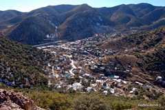
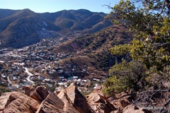
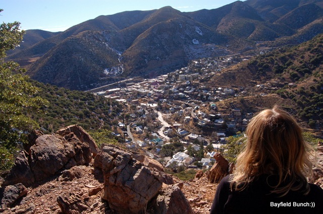
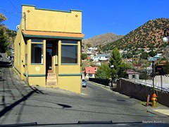
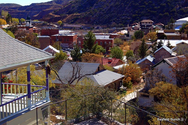
OVERLOOKING THE TOWN OF BISBEE, ARIZONA
Temps dropped to 22F overnight & the morning stayed on the cold side because of a cloud cover that had moved in from the southeast. When we headed off for Bisbee at 10:30 our outside water hose was still partially frozen.
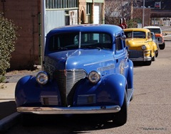
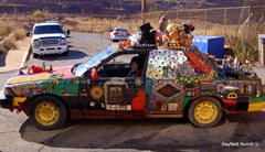
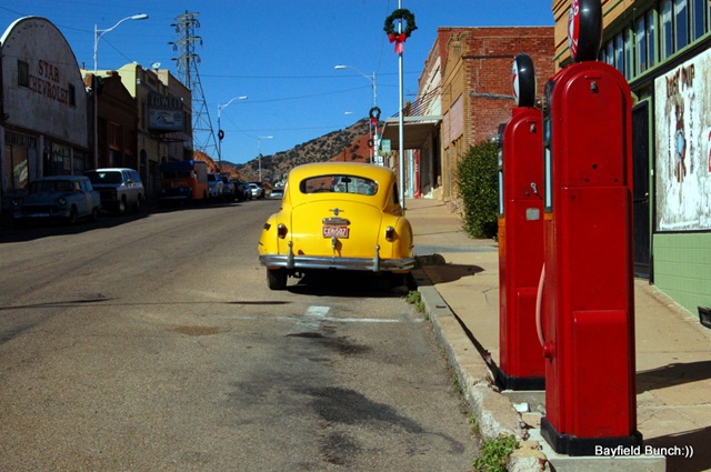
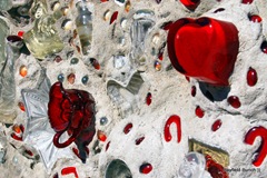
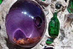
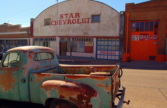
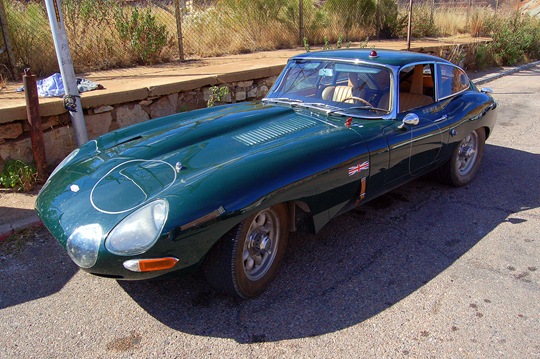
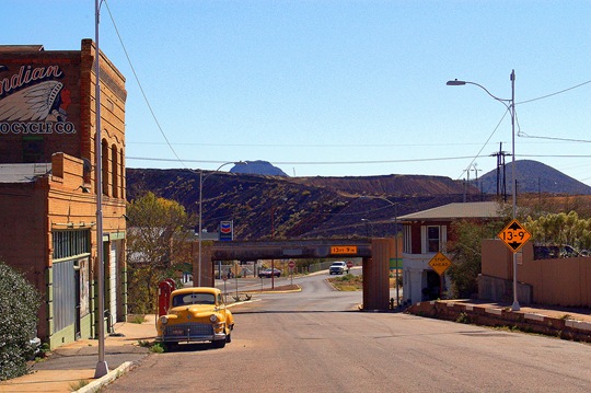
SOME OF BISBEE’S COLORFUL CARS
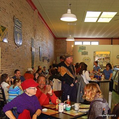
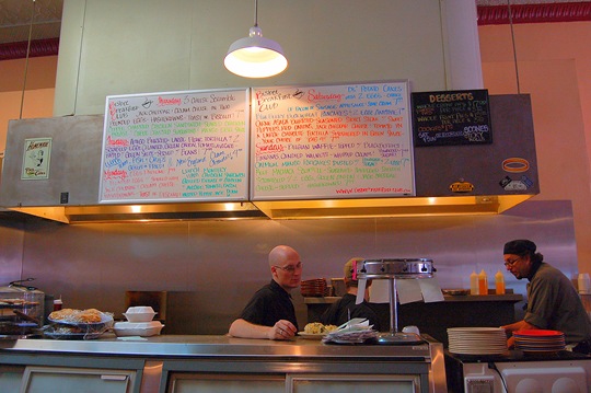
The Bisbee Breakfast Club was our destination this morning. We were meeting for the first time another RV/Blogger couple whom we had connected with on the internet nearly a year ago while in Borrego Springs. Their travels were interesting to us so we have been followers of Laurie & Odel's blog, SEMI-TRUE TALES OF OUR LIFE ON THE ROAD ever since. Laurie blogged about our mutual friends connections this afternoon & if you read her blog she explains how those connections led in a round about way to our meeting at the BBC for breakfast this morning. These are two very fine people & that is obvious when you see how they interact with each other. They are laid back full time RV'ers who have successfully covered many miles criss crossing this country over the past number of years. They are people who are organized, know what they want, know where they are going & make you feel at ease while you are with them. It was nice to add two more real RV/Blogger people to our list of real people we have met. Safe travels guys:))
LAURIE & ODEL IN THE CENTER
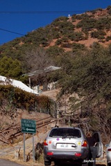
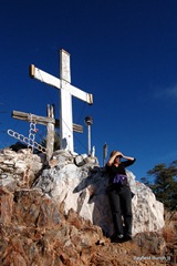
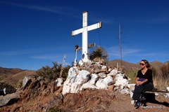
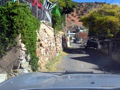
By the time we came out of the BBC shortly after noon the cloud cover had dissipated, the sun was out, & the temperature was up. Because of the earlier cloudy weather we had planned on returning to the ranch but with the day looking so great we decided to set out on a Bisbee hike that we had heard led to something called, 'The Shrine.' High on one of Bisbee's eastern hillsides stands a white cross that can be seen from most anywhere in Bisbee below. We had heard there was a street leading part way up the hillside & then a narrow rocky & steep path led upwards from there to the shrine & large cross itself. The street's name was 'OK' street & we didn't have any problem finding it. Only wide enough for one vehicle we luckily made our way up without encountering anyone coming down. Spotted a small space near the end of the alpine street to wiggle the car in & set off up a series of steep steps which led to some private property & a sign nailed to a tree saying, 'this is not the shrine trail!!' Back down the rocky pathway to the steps & back down to the car to re-group.
(click on the photos to enlarge them)
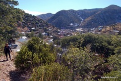
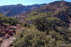
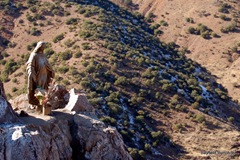
Walked a short distance to the end of OK street & finally found the 'hard to find' trail leading up & over a rough rocky stretch & into some green shrubbery. The trail from there is a steady steep climb & every foot forward is a step up. The trail is rocky, hard to find in spots, & has many switch backs. Attention has to be paid to keep from straying off the trail & at one point I knocked my hat off on a low hanging branch. With each look back over my shoulder the view overlooking Bisbee just became greater & greater. We huffed & puffed, stopped, caught our breath, puffed some more & steadily trudged upwards. I was very aware of my overweight status by the time we finally approached the top about 25 minutes later. This was a longer & steeper climb than our Coronado Cave hike a few weeks ago & some parts of the trail had a skiff of snow on it.
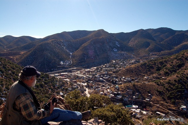
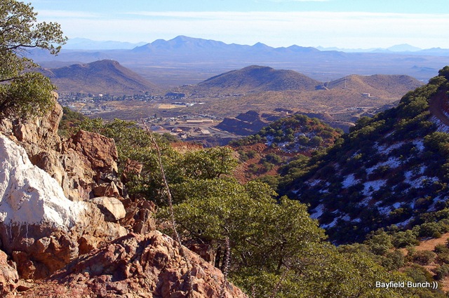
LOOKING SOUTHEAST TO-WARDS WARREN & MEXICO (notice the snow)
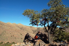
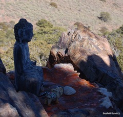
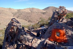
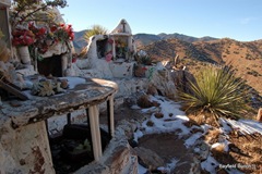
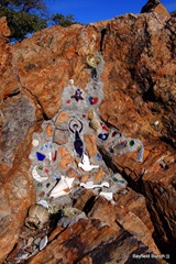
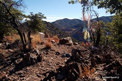
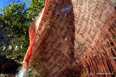
Before we reached the main shrine itself we began noticing small shrines along the trail. A pile of stones, a small wooden cross, a fabric wrapped pole, a man's photo cemented into a rock with candles, jewelry, a Buddha, small figurines & prayer clothes tied in the trees. The views of the surrounding hills & Bisbee far below were spectacular & the shrines overlooked hilly terrain. We had no idea what to expect when we reached the top but it soon became apparent there was definitely some sort of a religious shrine up there alright. When we finally reached it we had a clear unobstructed view over the whole town of Bisbee below plus we could see part of the old town of Warren to the southeast & Mexico to the south. Rather than trying to explain the views I will refer you to the pictures I took from the top of that hill. We spent about half an hour looking at things before we started our descent down the path of loose rocks, switchbacks, & steep sections. It's hard on the lungs going up & hard on the knees coming down & chance of injury coming down a hill is always greater than going up. But, we made it ok without incident & were soon in the car & back down the narrow alleyway road into the heart of Bisbee.
THE DOUGLAS-BENSON HIGHWAY IS VISIBLE AT THE FOOT OF THE MOUNTAINS
I was over an hour past my 2 o'clock coffee time so we stopped downtown & while Kelly went to a store of hand made crafts I slipped into the Bisbee coffee shop for a coffee to go. Kelly was back to the car about 15 minutes later with a pair of hand made socks & half an hour after that we were safely back at the ranch. All & all a great day. Met a couple of great people, had a great hike with some great views & Kelly got herself a great pair of colorful socks. Whewwwwww:))
I will post the rest of to-days photos in a separate web album shortly & a big welcome to our newest followers……MOTTI & PATTI plus I just noticed RUTH has joined us as well. Hi guys:))
GROANER'S CORNER:(( Did you know an unbreakable toy is always useful for breaking other toys!!
BLOGGER WEBSITE http://thebayfieldbunch.com/
OUR PHOTO ALBUMS http://picasaweb.google.com/stargeezerguy/
The only thing better than right now will someday be the memories of right now....AL.
