HEADING FOR COUNCIL ROCK WHICH IS WAY DOWN THE DRAGOON MOUNTAIN RANGE TO THE LEFT
Upon reading an email from a lady in Bisbee Sunday morning I decided it was time we got ourselves off our duffs & back into the Jeep again in search of some new adventures. After sitting around for 5 straight days in a row doing basically nothing I was more than ready for a challenge.
In her email writer Paula mentions Cochise’s Council Rocks & that rang a bell for me. Kelly & I had been in that very area last winter but we didn’t know anything about the historical significance of Council Rocks. After reading up a bit on the internet Sunday morning we piled into the Jeep & headed north up the Sulphur Springs Valley.
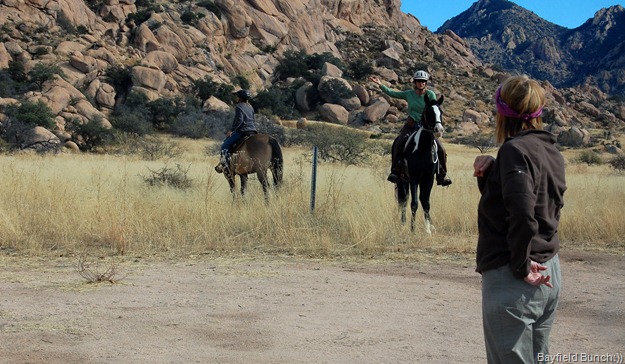
LATER IN THE DAY WE HAD TO STOP & ASK THESE HORSE LADIES FOR DIRECTIONS
On highway 191 just east of the old ghost town of Pearce the Border Patrol has a permanent checkpoint so here’s a tip for my fellow Canadians. If your anywhere near the Mexican border, carry your passport with you. Border Patrol has checkpoints set up on all major highways heading north from the border & this year they are asking to see passports!! I had to show mine Sunday!!
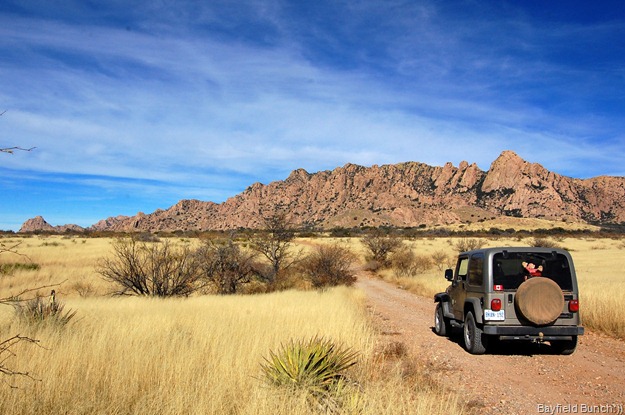
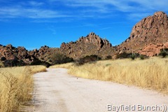
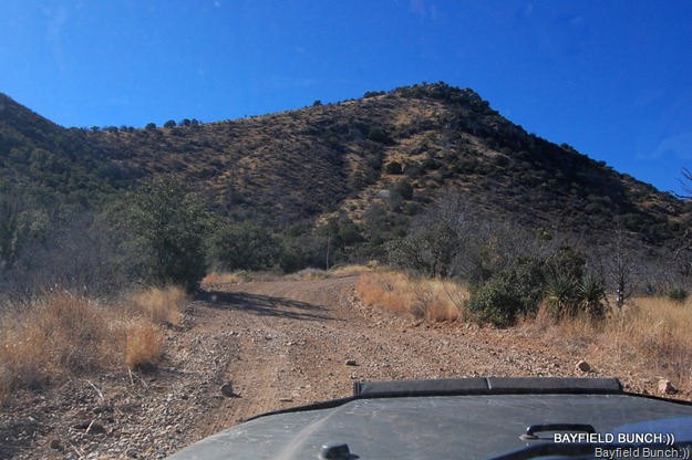
HEADING WEST INTO THE DRAGOON MOUNTAINS ON THE MIDDLEMARCH ROAD
Heading west out of Pearce we hung a left on the Middlemarch Rd road which leads into the Dragoon Mountains. It was on this road back in the late 1800’s that the majority of people left the town of PEARCE Arizona heading for TOMBSTONE after silver & other valuable minerals were found there. We had driven over the historic MIDDLEMARCH PASS last winter heading west to east but today we were doing it from east to west. This is a scenic drive & is doable by any two wheel drive vehicle. The road has a gravel base, is bumpy in spots & dusty all the way. I figured it was our shortest route from Elfrida to the Council Rocks area.
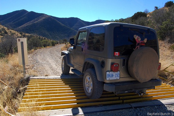
THIS CATTLE GUARD MARKS THE SUMMIT OF MIDDLE MARCH PASS AS WE BEGIN OUR DESCENT DOWN THE WEST SIDE OF THE DRAGOON MOUNTAINS
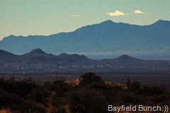
IN THE CENTER PHOTO YOU CAN SEE TOMBSTONE NESTLED UNDER THE TOMBSTONE HILLS WITH THE HUACHUCA MOUNTAINS ON THE DISTANT HORIZON
We turned off the Middlemarch road heading north on a hard packed sandy road called FR687. This road is doable by car but there are rutted areas & some stony washes to travail. We did this road with our Hyundai Santa Fe two wheel drive vehicle last year & we were fine. The Santa Fe does have good clearance though.
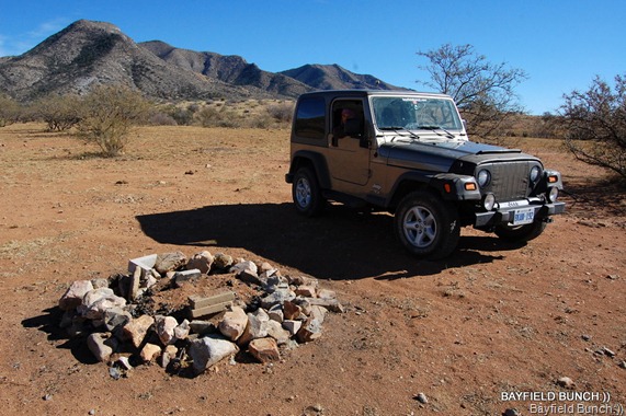
THIS IS ONE OF MANY REMOTE CAMPSITES NORTHEAST OF TOMBSTONE ON MIDDLEMARCH ROAD REACHABLE BY 10 MILES OF WIDE BUT WASHBOARDY ROAD
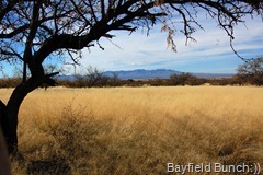
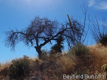
There are some great remote camping areas along this road but I wouldn’t recommend it for a Motor Home. Truck Campers, Class B vans & small Class C’s would be fine. Just have to take it slow in a few spots. Road #687 heads north winding through sweeping fields of yellow grass dotted with green Mesquite & Arizona White Oak trees along with Prickly Pear Cactus, Desert Spoons, Yucca & Agave plants. A short mile to the east paralleling the road runs the huge monolithic rocks of the Cochise Stronghold.
It is about a 35 to 40 minute drive to reach the Council Rocks area but it always takes us longer because I’m always in & out of the Jeep taking pictures & looking at things. It took us even longer today because we could not find the Council Rocks. There are no signs to tell you where it is. Luckily we had brought our Delorme GPS with us so Kelly fired it up & that gave us an idea where we were in relation to our destination but we still could not locate the exact location. Spotted two ladies on horseback & they were able to tell us to keep heading north up the road a bit & look for a turn off. Of course we missed the turn off & with more confusion than is really welcome we doubled back & found a small road turn off heading east into huge rock formations. We had our fingers crossed this is what we were looking for. A few hundred yards in we saw another Jeep parked nearby so figured we had the right place.
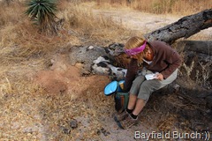
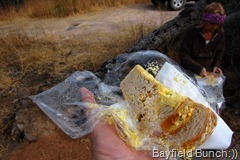
Before heading off up a path leading into the rocks we hauled out our lunch. Oh oh, some very squushy egg salad sandwich’s again & even more squushier than last time.
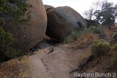
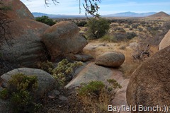
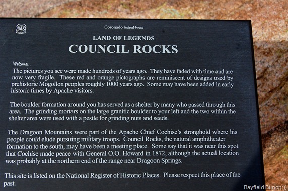
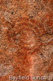
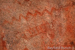
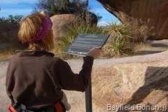
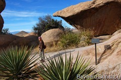
It’s a short steep climb up into the heart of the Council Rocks & it had me puffing a bit but what a beautiful spot this was. Huge house sized boulders with curious patterns & indentations. Clambered our way along a short path & right away found the very things ELAINE SEAVY had written about on her website. Pictographs, a cave like area formed by uplifted rocks & a historical marker. And, we found something else or should I say…..somebody else.
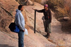
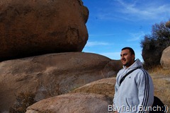
His name was Mark & as it turns out he was the owner of the Jeep we parked beside further back. Mark was a friendly Indian fellow & told us he comes with his Dad hunting through this area periodically. He also told us his Dad had traced back their ancestry years ago & it was determined that his Dad’s family are direct descendants of the legendary Chiricahua Apache Indian leader, Geronimo.
How coincidental that was to meet someone of Apache Indian descent right there in the Cochise Stronghold. It was nice meeting him & it added to an already great day.
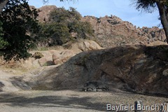
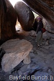
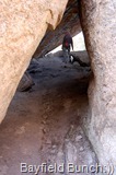
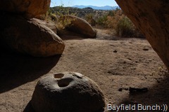
EXPLORING A PROTECTED CAVE LIKE SETTING WHERE UPTURNED BOULDERS HAD MADE A SHELTER. NOTE HEAVY ROCK TABLE IN LEFT FOREGROUND & ROCK LEGS UNDERNEATH. I’M GUESSING THERE WERE MANY COOKING FIRES & GATHERINGS HERE
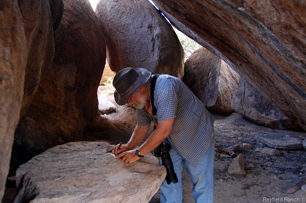
WRITING THE DATE ON THE BACK OF A ‘BAYFIELD BUNCH’ CARD & LEAVING IT ON THE LARGE ROCK TABLE UNDER A SMALLER ROCK
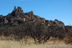
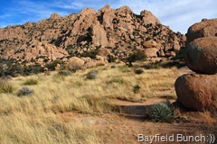
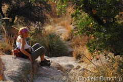
Kelly & I spent nearly 2 hours in that area just following paths here there & reveling in the magnificent beauty all around us. Man’s presence was not apparent here although far on the distant horizon we could actually see specks of traffic moving along I-10 to the north, Benson to the northwest & Sierra Vista far off in the shadow of the Huachuca Mountains to the southwest. It was from here at Fort Huachuca where the American Calvary soldiers would ride out in search of Cochise & his band. From the very towering rocks around us today the Indian lookouts were posted in those days & had no trouble spotting the Calvary coming across the San Pedro Valley stirring up great dust clouds behind them. It is no wonder the Indians lived in this mountainous area of towering rock formations. It was indeed a formidable fortress. It was the Cochise Stronghold.
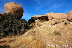
THIS IS INDEED A FORMIDABLE FORTRESS
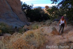
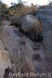
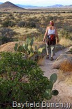
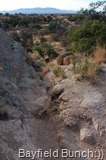
The towering rocks were beginning to cast eastward shadows so I knew it was time for us to make our way back to the Jeep. We descended the steep rocky pathway being careful of the Prickly Pear cactus along the way. We noticed the curious foot holds Mark had told us the Apaches had carved into the rocks for fast climbs up & away from approaching enemies.
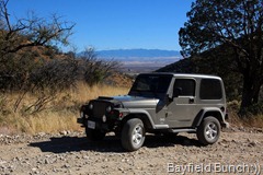
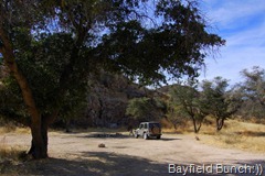
BACK TO WHERE WE LEFT THE JEEP
It was four o’clock as we headed south back down road 687. We had us quite a cloud of dust kicking up behind as we reached the Middlemarch road a half hour later & swung west heading for Tombstone. Thought this might be a quicker way home but I don’t think it was. It was a long 10 miles on a wide but washboardy road & we were so happy to reach highway 80 running between Tombstone & Benson. Turned left onto the smooth paved highway & a mile later we were motoring through the historic & legendary town of Tombstone, Arizona. We have been to Tombstone a few times before & if I could have located my Tombstone pics I would have linked them here. We dodged the usual hail of gunfighter bullets & headed south out of Tombstone turning left on Davis Road to McNeal then left to Elfrida. A couple more turns & we were welcomed home with lots of happy barking & wagging tails. All & all, Sunday turned out to be totally great day. Now, why can’t every day be like that, eh:))
Yes, yes, I know……way too many pictures again tonight!!
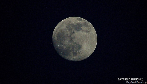
SUNDAY NIGHT’S MOON… 300mm-F5.6-1/1600 OF A SEC SHUTTER SPEED…HAND HELD FROM ELFRIDA AZ.
OK, quick note on today which is Monday. Flat tire on the Jeep this morning & the day didn’t get much better after that. Spent my longest time ever in a Wal-Mart store. Oh woe was me:(( More tomorrow & hopefully that will finally get me caught up.
GROANER’S CORNER:(( What do you call Santa's helpers? Subordinate clauses.
--------------------------------------------------------------
EMAIL THE BAYFIELD BUNCH:))
stargeezerguy@gmail.com
Tourists see the world, travelers experience it.
BLOGGER WEBSITE http://thebayfieldbunch.com/
OUR PHOTO ALBUMS http://picasaweb.google.com/stargeezerguy/
The only thing better than right now will someday be the memories of right now...... AL.























What a moving experience to be in that place! It gave me chills to travel along with you and Cochise. Not too many pictures for me. :)
ReplyDeleteThanks for a really great tour. I have saved the directions so that we can try and find this place next time we are in the area.
ReplyDeleteAs always, the pictures are great.
Spectacular site, and thank you for publishing all of those photos. I love seeing remote campsites like the one you posted. They - along with the wonderful geological features you saw - make me excited to visit this site and others.
ReplyDeletegot a booster for my wifi today and just had to get to your site to catch up! Rewarded as expected. The photos and stories are great.
ReplyDeleteNever too many pics Al...
ReplyDeleteToo bad about the Jeep tire, will have to read about that one!
You can never have too many pictures. Good idea about having your passport with you. I never travel without mine.
ReplyDeletewhat a fabulous day!..thanks for sharing so many photos!!..fantastic!!!
ReplyDeleteWe really enjoy your blog and you are now in a part of the country that we're familiar with as we winter in the area. A suggestion to replace your soggy egg salad sandwiches - when we go jeeping we put our lunch, wrapped in double foil, on the manifold - leftover pizza; ham & cheese sandwich; tortilla with your choice, etc. (but NOT egg salad sandwiches). We have jeeped some rough roads/boulder climbing and we haven't lost a sandwich yet! It's a perfect temperature after 4 hours or so. Try it!!
ReplyDeletefrom Two Gypsies
Its not too long or too many pictures, it is what it took to adequately explain an awesome day of exploring and taking the rest of us with you.
ReplyDeleteThanks
Rod
thanks for sharing, a must see spot for me in the future...
ReplyDeleteWhat a great piece of history, as usual you took us along on a great pictorial adventure, Thank's Al & Kelly. Be safe out there. Sam & Donna...
ReplyDeleteThis was a wonderful tour Al, thank you! Sorry about the tire though. Oh, don’t ever worry about too many pictures; I could look at many more without complaint.
ReplyDeleteMighty pretty country out there Al and you do a good job of photographing it.....Enjoyed riding along.....Merry Christmas..
ReplyDeleteToo many pictures? We don't understand or accept that comment. Now with some other bloggers, that might be too many, as their pictures show things like Ma and Pa standing beside the Buick in front of Wal-Mart, and then they show Ma and Pa's picture of THEM standing beside the Buick in front of McDonalds. Yours are a splendid record of an adventurous spirit living a real life. Bless you, my son. (I can call you son not because you are bright, but because you are so much younger than I am. OK, we know you're bright too!)
ReplyDeleteC'est à tomber sur le cul!!!!
ReplyDeleteThat is french for "it is to fall on your ass!!!" That is an expression we have to say it is to die for, out of this world!!!
Thank you so much for sharing Al, I look forward to your blog every day.
Pictures are getting better every day, if ever that is possible...Keep it up, we love you!
Andrée
Al,
ReplyDeleteI really enjoyed your post on Cochise's Council Rocks. Awesome pictures as usual (and not too many). Because we plan to follow in your footsteps in a couple of years, it sure would be nice if you could give the GPS coordinates of the places that you go to. Thanks for blogging.
Christopher
I am overwhelmed!!! I kept trying to put my foot through the computer screen into those footholds carved by the Indians...and again, greasing up the screen with sweaty palms..attempting to channel history....Nope, this isn't working..gotta get this place on our list of GOTTA SEES!!! Thanks a gazillion times over for posting this blog...I'm in Heaven!!!
ReplyDeleteAnonymous/Christopher Said:...it sure would be nice if you could give the GPS coordinates of the places that you go to.
ReplyDeleteAl, You can do that if you wish but in my opinion part of the adventure is finding theses places without having coordinates provided.
Great blog Al, and great pictures,
ReplyDeleteyou are finding some amazing places! How wonderful to be able to touch history like you do.
By the way we found Darby Wells Rd. thanks.
Jean
GREAT tour today on your blog. Looks like a wonderful adventure!
ReplyDeleteThanks for the tip on taking along you passports. Whoda thunk that you would need to prove you belong IN the United States when you are FROM the United States.
We are heading down that way in a few months and were planning on bringing the passports anyway, but good to know we should keep them ON us when touring around too.
~*~*~*~*~*~*~*~*~*~*~*~*~*~*~*~*~
Karen and Steve
(Our Blog) RVing: Small House... BIG Backyard
http://kareninthewoods-kareninthewoods.blogspot.com/