Monday, February 13, 2012

OUR MISSION TODAY…. FIND AN OASIS OR TWO PLUS A PUMPKIN PATCH

DSC_0049

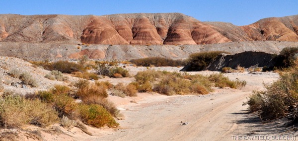
BORREGO BADLANDS 5 PALMS OASIS

The heavy gusting winds really beat us up bad again in the night.  I was up & out of bed by 1 a.m.  I don’t know why the winds have to be so strong but they just are in these here parts. 

DSC_0007

HEADING INTO BORREGO SPRINGS THIS MORNING

It was a slightly chilly wind blown walk we had this morning.  Temps have dropped over the past couple days

DSC_0002DSC_0006 DSC_0003DSC_0005 DSC_0001DSC_0004

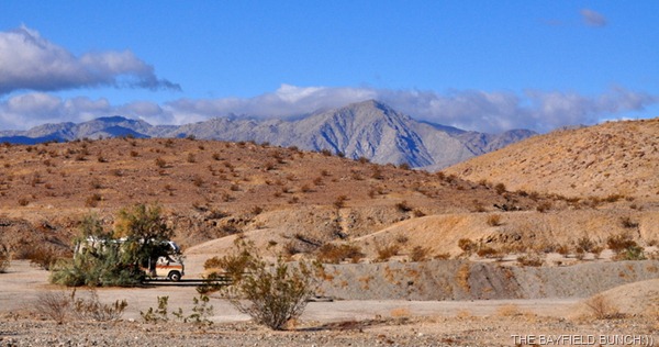
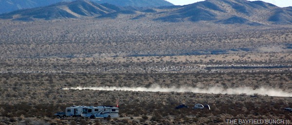
OUR CLOSEST NEIGHBORS HERE AT THE CLARK DRY LAKE BED 

Got a little something mixed up between the iPad & the iPhone.  Seems it’s the iPhone that has the GPS & not the iPad.  Say, wonder if I could get a good deal on an iBrain.  Wonder if there’s an App for that:))

DSC_0009 DSC_0008

ANZA BORREGO VISITOR’S CENTER

Armed with better directions & information we headed off once more this morning in search of the elusive stone pumpkin patch in the Borrego Badlands.  Also, a couple of Palm treed Oasis’s we had read about.  We actually have a book we bought a couple years ago about all the hikes & spots around here but just remembered we had it this morning.  Sometimes two minds are just not as good as none.

DSC_0013

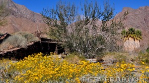
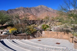
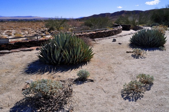
DESERT GARDEN ON THE ROOF OF THE VISITOR’S CENTER

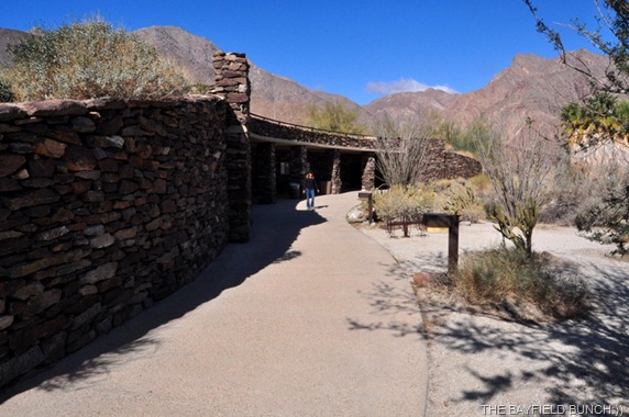
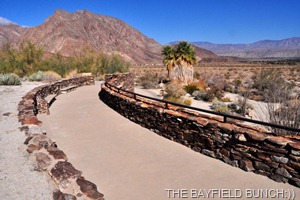
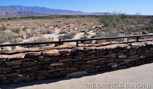
Before heading east on S22 we headed west into Borrego Springs to pick up some more of that expensive California gas. One wants to make sure they have lots of gas before heading out into the Badlands. Also slipped up to the Anza-Borrego Visitor’s Center to pick up some additional maps & have a chat about some of the roads in the back country. We were back on the road by 10:15 with the mission of finding 2 Oasis’s & a Pumpkin Patch.

DSC_0010

ANZA BORREGO VISITOR CENTER…BORREGO SPRINGS

DSC_0012 DSC_0011 

STANDING ON THE ROOF OF THE VISITOR CENTER FOR THESE PICS

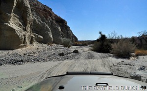
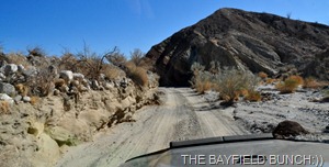
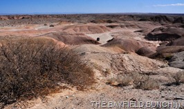
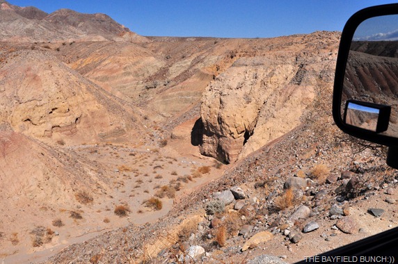
Somewhere around mile marker 35 we turned right into the desert onto the Arroyo Salado trail heading south.  If you do not have a high clearance 4 wheel drive vehicle you do not want to be on these Badland roads!!

DSC_0018 DSC_0017

HEADING ALONG THE ARROYO SALADO

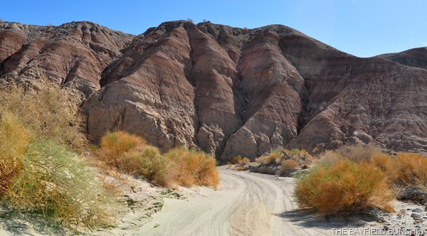
This is nice desert country with the Jeep road winding it’s way through sandy washes, around, up & over gravely & rock strewn buttes.  Just gotta love the great American Southwest.  We very nearly missed our first objective.  There are small road markers but they are few & hard to see.  I was keeping an eye on the rough road ahead when Kelly spotted a stick marker for 17 Palms.

DSC_0019

DSC_0024 DSC_0023

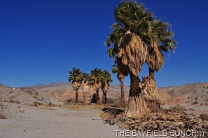
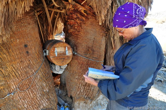
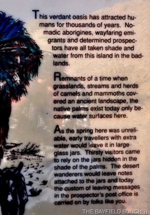
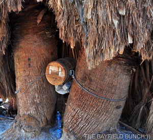
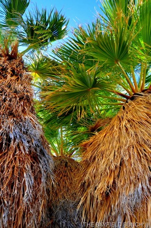
How nice to find a real Oasis with big green Palm trees in this harsh rock & sand environment.  Parked the Jeep & walked a short distance to the Palms.  Another windy day so we could hear the wind swishing through the Palms before we even got to them.  They looked beautiful against the deep blue sky as we approached.  Luckily, Kelly had read about these Palms yesterday so we were in search of something special found only here at the 17 Palms in the Borrego Badlands…….the Prospector’s mailbox.DSC_0021
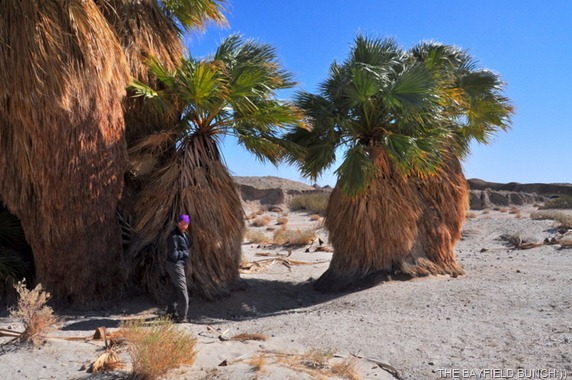
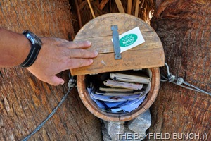
Took us a wee bit of looking & there it was, snugly nestled in between two giant Palm trees.  And there were the full water bottles we had read about too, just below the mailbox.  The box had a guest book inside plus a lot of cards & notes left by folks visiting the Palms.  Of course we left a dated Bayfield Bunch card in the box:))

DSC_0027

KELLY SIGNS THE VISITORS LOG BOOK

DSC_0033 DSC_0028

DSC_0029 DSC_0025

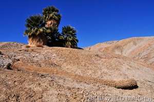
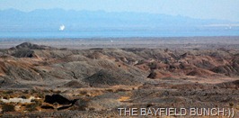
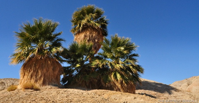
From 17 Palms it was a short hop down the Arroyo Salado wash to another nearly missed marker.  This was the turn off for 5 Palms Oasis.  A short drive in & we spotted the 5 Palms Oasis high atop a sandy clay hill.  A short walk & a climb had us up to the Palms in no time.  There are actually 4 Palms now with the old trunk of number 5 lying part way down the hill.  Climbed a little further atop a hill just behind the Palms & we were able to see the Salton Sea to the southeast.  Could see white plumes from the Geo Thermal Energy Plants as well.  So nice to see these tall green Palms standing gracefully amid all the rocks, sand & gravel of the surrounding area.  Saw some Elephants Knees to the Southeast as well.

DSC_0039

DSC_0043 DSC_0040 

THE 4 PALMS WITH THE 5TH PALM LYING IN THE FOREGROUND

DSC_0045 DSC_0042 

KELLY LOOKS OUT OVER THE BORREGO BADLANDS

DSC_0044 DSC_6019-1

JEEP IS VISIBLE LEFT PHOTO…300MM VIEW WITH THE SALTON SEA & GEOTHERMAL ENERGY PLANTS ON RIGHT

Up to this point we had been doing fine with navigation but decided to follow a road called, ‘Cut Through Road.’  Great winding Jeep trail but by the time it was finished with us we were really turned upside down for directions.  Had a general idea of which way the Pumpkin Patch should be but we really had a hard time finding it.  Criss crossed a few roads, made a few U turns, scratched our heads a bit & finally blundered across a sign saying Pumpkin Patch trail.  Figured that was a good indicator of which direction to head & sure enough, a mile later we rolled into a large flat sandy parking area complete with a washroom.  We were at the Pumpkin Patch at last.  Don’t ask me how we got here because after the 5 Palms Oasis I have no idea where we all went.

DSC_0036

ELEPHANT’S KNEES

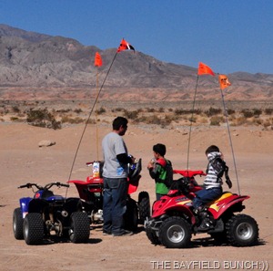
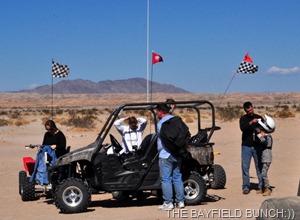
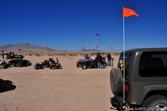
Saw a white pickup truck parked there with California State Parks written on it & 2 Park Employees standing by an information table.  These two girls were very helpful in showing us a map of where we were & restoring our directional bearings.  They explained we were no longer in Anza Borrego State Park but in the ‘State Vehicular Recreation Area’ of Ocotilla Wells.  That became crystal clear minutes later when a whole convoy of kids rumbled in on ATV’s & dirt bikes.  They were accompanied by instructors & we were told there was an ATV training center nearby.  Some of these kids were small but at least they were being trained properly in the operation of their ATV’s.

DSC_0050

GETTING OURSELVES SOME DIRECTIONS

DSC_0063 DSC_0062

A LOT OF YOUNG ATV DRIVER’S HERE

DSC_0061

OUR NEW FLAG IS FEELING RIGHT AT HOME HERE

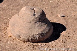
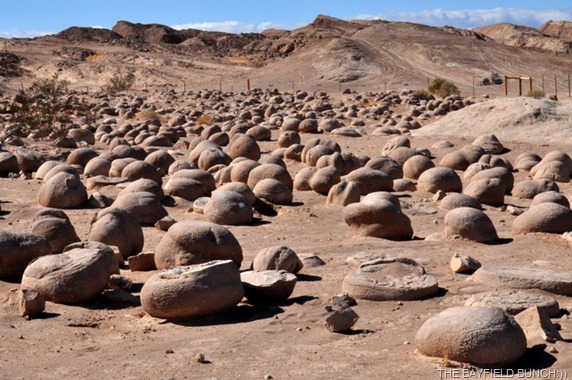
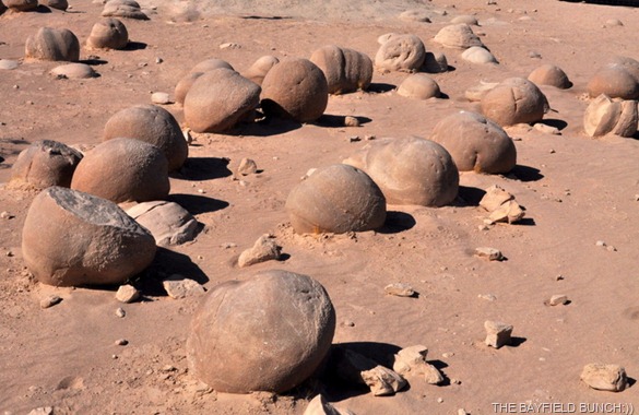
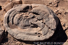
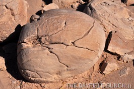
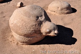
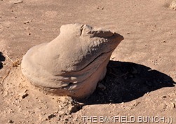
Well, what I can I tell you about the Pumpkin Patch.  It was a bigger area than I expected & there were lots of round Pumpkin looking rocks there alright.  I’ll let my photos explain the Pumpkin Patch:))

DSC_0053

DSC_0072 DSC_0075

TURTLE PUMPKIN             FROG PUMPKIN

DSC_0074 DSC_0073

HAPPY FACE PUMPKIN    SPACE SHIP PUMPKIN

DSC_0055

DSC_0071 DSC_0069

DSC_0066

DSC_0080 DSC_0064

ATV KIDS PLAYING IN THE PUMPKIN PATCH AND….COULD THIS BE A MARRIAGE PROPOSAL IN THE PATCH:))

DSC_0070

DSC_0076 DSC_0068

The 2 lady Park employees suggested we head down a wide sandy wash to the East & pick up the Cross Over Trail heading north back to highway S22.  Well, this turned out to be quite a drive & we sure ended up getting ourselves into some tight spots.  The first half of the drive was across flat desert but the road was full of large gully whomps & if one didn’t take it very slow, one was going to end up with a series of bumps on the top of one’s head.  Great road for kids jumping dirt bikes but not so good for older folks with looser innards!!  And, tonight as I am writing this I can tell you I am a wee bit sore in areas I have never been a wee bit sore in before.

DSC_0085

The second half of the Cross Over trail turned out to be the toughest for us because we lost our way & ended up on some trails better suited for ATV’s, dirt bikes and army tanks.  We climbed short steep hills, groveled & slugged our way through gullies better suited for a Gopher army & made our way around narrow curves specially designed for sideways flying hummingbirds.

DSC_0089

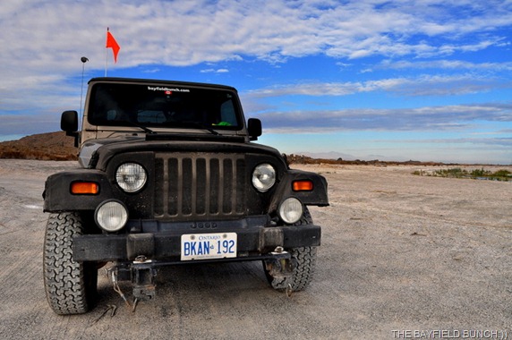
It was obvious we were not in a landscape best suited for our size of vehicle.  OK, so when all else fails, lets stop & get out the map to see if we can figure where we got off the road.   Yep, there it was alright and a U turn was in order.  Back through all the whoolie whoops to a confusing crossroads of sorts.  Luckily we chose the right way to turn this time.  As we topped one rise, 3 young dirt bikers blew by us on the left.  I was so glad to have that orange flapping flag on the back of the Jeep.  And soooooooooooooooooooooooooo glad we had a Jeep.  We love our Jeep, we love our Jeep, we love our Jeep:))

DSC_0086

Finally found our way back to highway S22 & headed for home.  We had been gone for 4.5 hours & the doggy guys were sure glad to see us when we got back.  All & all a great day.  Found all three of our objectives & had a great Jeeping time doing it………10-4:)))))

DSC_0087 

Weather predictions are for upcoming cloudy days with 65mph winds Monday so it’s looking like our nice weather of a few days ago has turned against us.  Possible rain by noon so I’m hoping to take off early Monday morning for my annual trek up Ghost Mountain over in Blair Canyon.  Nice drive over there & back & I always enjoy that as well.

DSC_0092

Hope the winds back off long enough tonight that I can finally get a decent night’s sleep……………..

DSC_0090 

THE POINT WHERE WE STOPPED & FINALLY LOOKED AT OUR MAP TODAY  

Kerri from HOMESCHOOLING SOLO is the latest Blog Follower to join the Bunch on our travels.  Welcome aboard Kerri & nice to have you along:))

DSC_0020

GROANER’S CORNER:((  A lady lost her handbag in the bustle of Christmas shopping.
It was found by an honest little boy and returned to her. Looking
in her purse, she commented, "That's funny. When I lost my
bag there was a $100 bill in it. Now there are 100 $1 bills." The
boy quickly replied, "That's right, lady. The last time I found
a lady's purse, she didn't have any change for a reward."

---------------------------------------------------------------------------
-Tourists see the world, travelers  experience it.
- Home is where your pet is:))
BAYFIELD BUNCH PHOTO ALBUMS https://picasaweb.google.com/117858411710794543295
The only thing better than right now will someday be the memories of
right  now...AL.
stargeezerguy@gmail.com
Sunday, February 12, 2012

HELPING A COUPLE DAMSELS IN DISTRESS

DSC_0015

DOING A LITTLE OFF ROADING TODAY

The gusting winds had me up at 3 a.m. so I knew I was in for a long day.  Borrego Springs is known for it’s winds.  Big, gusting, & rip your awning off kinds of winds!!   I think some of the worst winds we have encountered in our travels have been right here out on the Clark Dry Lake Bed near Borrego.  Two years ago we departed the area early because of the relentless winds.

DSC_0009 

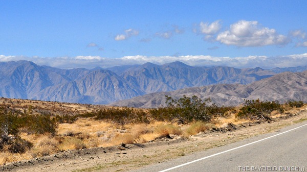
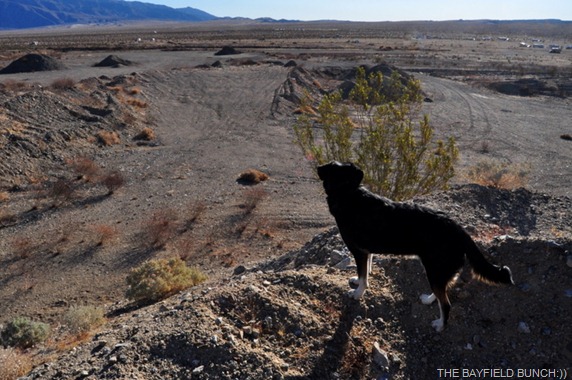
GRAY SAN YSIDRO MOUNTAINS BEHIND THE BROWN COYOTE HILLS WHERE WE WALK IN THE MORNING…STONE SNAKE IS IN THE AREA TOP RIGHT WHERE THE TWO HILLS FORM A DIP

We heard Friday there were wind warnings out & sure enough they started Friday night about 6:30 & howled on & off most of the night.  Flicked the TV on around 4 & was relieved to see we still had a signal.  That meant the satellite dish had not been slam dunked.  I have it tightly cinched to the ground using THE CLAW.  Luckily I set up the dish on the leeward side of the rig a few days ago as well.

DSC_0002

<<< WE PICKED A ROCKY TRAIL THIS MORNING

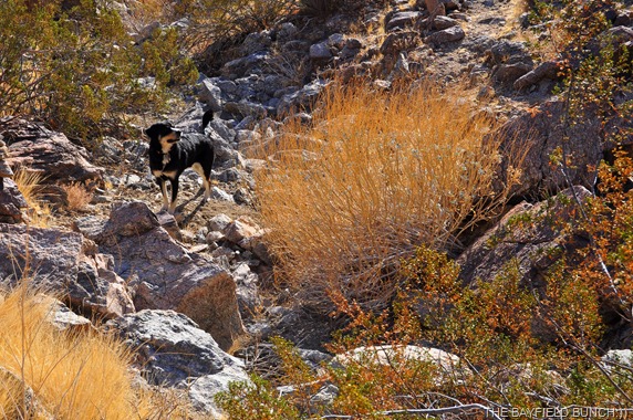
Pheebs & I headed up into the Coyote Hills again this morning but took a steeper rocks & boulder strewn route.  Path was hard to find through the rocks & I wandered off it at one point.  No problem because I could see it just above me & 4 or 5 big climbing strides would put me up onto it again.  My first step up put me flat on my face.  The rock I had stepped on was loose & shot out from under my foot.  I heard my Nikon D40 & 300mm lens hit the rocks under me & my D90, although still in my hand, dinged the rocks ahead of me.  Laid there for a few seconds & decided I was fine but oh dear, what about my cameras.  Without getting up I turned my D90 right side up & brought it closer to my face.  Looked OK.  I then slowly got up fearing the worst for my D40 & big lens lying on the rocks beneath me.  Lens hood & barrel were scuffed & dirty.  Took a photo with the D90 of the D40 & hat laying on the ground to see if the D90 was still working….it was.  I then carefully lifted the D40 up.  Everything appeared OK so took a photo of Pheebs & everything worked fine on that camera too.  

DSC_0004

PHEEBS, OUR LITTLE MOUNTAIN GOAT

This was the second close call for my 300mm lens.  This was the same lens I had on my Nikon D50 a year ago when camera & lens fell off a table onto a concrete floor.  Camera was toast but the big lens survived.  Considering the fact I carry my cameras with me practically every day I figure I’m pretty lucky in only having one camera smashed up in all these years.  And, I’m not one to pamper my equipment.

DSC_0003

EVEN KNOCKED MY DARN HAT OFF

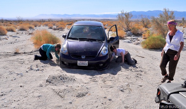
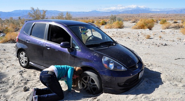
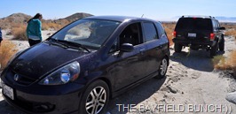
Figured we would head off on a little Jeep tour this morning so headed east on S22.  We had heard of a place called the Pumpkin Patch & we also wanted to have a look at Truckhaven Rocks.  Somewhere around mile marker 35 we caught a glimpse of a vehicle about 500 feet off to the right that appeared to be stuck in a sandy wash.  Person standing beside it.  Took us another mile before we could get turned around & head back.  As we turned off the highway into the desert we could see the front end was down on the car & as we drew closer saw that it was 2 young girls totally stuck in the sand.

DSC_0001-1

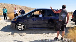
We all tried digging sand away from behind the Honda Fit’s front tires & laying in a bed of rocks.  No go, front wheel just spun.   The girls had spun the front wheels in so far the frame was resting on the ground.  I was kicking myself for not having a good tow rope in the Jeep because we could have pulled that little Honda straight back & out of it’s dilemma.

DSC_0002-1 

DSC_0003-1 DSC_0004-1 

THE TOW ROPE GUY HOOKS ONTO HIS BUDDY’S JEEP

Kelly had walked back out to the road to flag down some help.  I had seen a group of campers not far away so jumped in the Jeep, picked Kelly up & we were on our way to get some additional help when we noticed two vehicles slowing down.  They had seen Kelly by the road & turned around.  We got them pulled over & explained the situation & it wasn’t long we all made our way back to the damsels in distress.  One fellow had a Jeep & the other fellow had a small pick up truck with a tow rope on board.  The Jeep guy positioned himself behind the Honda, the pick up truck guy brought over his tow rope, I hooked one end on to the Honda & they hooked the other end onto the Jeep.  In just a matter of seconds the Jeep guy easily pulled the little Honda right out with no problem.  Some cheers went up & the happy girls were once again on their way.  So nice when a group of strangers can come together & lend a helping hand.  It sure made my day seeing the big bright smiles on the young faces:))

DSC_0007-1

A CHEER GOES UP AS THE HONDA IS PULLED FROM THE SAND

DSC_0008-1 DSC_0009-1

THE JEEP GUY GUIDES THE HONDA OWNER BACK A BIT

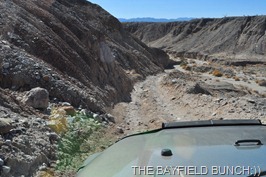
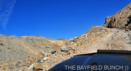
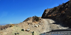
Not too much farther down the highway we saw Truckhaven road & decided to have ourselves a look.  It’s a 4 wheel drive Jeep road & starts off easy enough through the desert but before long it begins a steep rough descent down a narrow rock strewn & rutted trail to a wash below.  This was a slow first gear crawl downwards with a sheer drop off on Kelly’s side.  Not good.  It is always far more difficult for a passenger in these situations than it is for a driver.  We did finally make it down OK but it wasn’t long & we were into another rocky section climbing up the other side of the wash.  Once on top of the mesa we could see the road heading down another steep rock strewn road into the next wash.  Not knowing where this road eventually ended or led to we made the decision to turn around & make our way back to the highway.

DSC_0010

ROAD STARTED OFF EASY ENOUGH

DSC_0014 DSC_0016

WE WERE SOON INTO SOME ROUGH & ROCKY TERRAIN

DSC_0018

WE HAD COME DOWN THIS NARROW ROAD SO KNEW WE HAD TO GO BACK UP IT

DSC_0020 DSC_0019DSC_0022

NO FANCY GUARD RAILS IN THE DESERT

We must find ourselves a good map showing the topography of these roads if we are to venture out again.  One does not want to get lost in the many criss crossing canyons, washes, & endlessly wandering Jeep roads.  Afterall, these are the Borrego Badlands & not for the faint of heart

DSC_0032

BORREGO SPRINGS LIES JUST OVER THERE AT THE BASE OF THE SAN YSIDRO MOUNTAINS

Once back on the highway we did slip off onto another Jeep road again somewhere in the vicinity of the Calcite Mine but once again not knowing exactly where the mine was we had to eventually turn around & head back up onto the highway again.  We were back to the rig before noon.

DSC_0025

SOMEWHERE IN SOUTH PALM WASH

DSC_0026 DSC_0031 DSC_0027

YEP, I THINK THAT’S ABOUT THE END OF THE LINE FOR TODAY

Spent the rest of the afternoon gathering together info off the Internet on how to find some of the things we couldn’t find today.  Yes, we do have a Delorme PN-40 Earthmate GPS but we’ve never figured out to use it & have lost interest.  In fact we’re contemplating selling it.  Excellent condition & never really been used.  We understand iPads have a GPS program & we would sooner go that route.  If we sell the Delorme we’ll put that money towards an iPad.

DSC_0004-2OUR DELORME PN-40 EARTHMATE GPS…EXCELLENT CONDITION >>>

Well, I really got things messed up about that Skydiving event in yesterday’s blog. Kelly had first gone into the terminal & talked to the dispatcher guy about the jumpers. She then gave me her interpretation of what he said & I of course processed that in my mind with my own interpretations of what Kelly said & added a few of my own assumptions & of course got the whole story wrong. Friend & long time blog reader Pat over near Sierra Vista straightened me out this morning with the following comment. “The Skyvan won't be going to Canada with the jumpers, it's from the Perris Valley jump school (SkyDive Perris) just north of A-B near Riverside.”  Thanks Pat:))  Now, here’s where I really got it screwed up in the translations…… I said “A very friendly & helpful dispatcher guy told us a crack Canadian Skydiving team was here to train some American military personnel in the finer arts of leaping out of a perfectly good aircraft.”  Well, the only thing I got accurate about that was the bit about the friendly dispatcher guy being friendly.  No crack Canadian Skydiving team was here to train American military personnel.  It was Canadian military people here to attend & train at the Perris Valley jump school over near Riverside California somewhere…... Oh boy, hope I got it right this time!!   Getting facts screwed up so bad makes me think I should be writing for the National Enquirer……………..

DSC_0001

GROANER’S CORNER:((  There was this lady who was visiting a church one Sunday. The sermon seemed to go on forever, and many in the congregation fell asleep. After the service, to be social, she walked up to a very sleepy looking gentleman, extended her hand in greeting, and said, "Hello, I'm Gladys Dunn." And the gentleman replied, "You're not the only one ma'am, I'm glad it's done too!!"

---------------------------------------------------------------------------
-Tourists see the world, travelers  experience it.
- Home is where your pet is:))
BAYFIELD BUNCH PHOTO ALBUMS https://picasaweb.google.com/117858411710794543295
The only thing better than right now will someday be the memories of
right  now...AL.
stargeezerguy@gmail.com

Friday, February 10, 2012

A MORNING OF VISITING, AN AFTERNOON OF RELAXING

DSC_0025

FRIDAY MORNING MARKET AT CHRISTMAS CIRCLE, BORREGO SPRINGS

Last summer was probably the last time I was outside after dark with a short sleeve shirt on….until last night.  Warm nights under the stars are always the best part of hot days for me & these great Borrego evenings are just great.

DSC_6010

REMEMBER ‘SPEEDY GONZALES’ FROM CARTOONS YEARS AGO?  WELL, HE’S ALIVE & WELL LIVING RIGHT HERE IN THE DESERT JUST OUTSIDE OF BORREGO SPRINGS

With our higher viewpoint here at the Clark Dry Lake Bed we can see the twinkling lights of Borrego Springs about 5 miles away.  Always so pretty.  Could see a few flickering campfires here & there around us too which looked nice under the starry skies.

DSC_0010-1

Borrego Springs has always been known for it’s superior dark skies & has always been a popular place for Astronomers.  But, standing outside last night looking around I couldn’t help wonder how much longer that can last as the mega population along California’s coast continues to grow.  The light pollution to the North & West was obvious from the glow coming over from the other side of the mountains.  Another glow to the Southeast was probably the growing city of Brawley.  I feel Borrego Springs dark nights are surely threatened.
DSC_0009

For any of you folks who have a Sirius satellite radio you might find it interesting to know that name comes from a mythical hunting dog high in the winter’s sky right now.  If you know where the winter constellation Orion is, just look below it towards the horizon for the brightest star in the sky.  That is Sirius, the dog star & is one of the great hunter Orion’s 2 hunting dogs.  Check out, BIG DOG IN THE WINTER SKY.

DSC_0007 

NO, THIS IS NOT SIRIUS THE DOG STAR….IT’S PHEEBS, THE BAYFIELD BUNCH STAR:))

Had ourselves quite a ‘visiting’ morning.  I was in the shower when a knock came to our door somewhere around 8.  This is an area where it is safe to open your door by the way.  When Kelly opened it, the fellow said, “Hi, I’m Dez & I’m from Fort Canada.  Some may recall the photo in Thursdays blog I had of the group near us flying American & Canadian flags.  I captioned that photo, ‘Fort Canada.’  Dez was a scout sent out from the Fort.  Someone had noticed our Bayfield Bunch logo on the back of the rig & looked us up.  Dez is from St. Albert Alberta.  Had ourselves a chat & exchanged ideas of things to see & do in the area.
DSC_0040-1

FIGURED I WOULD RE-POST THIS PIC FROM A COUPLE DAYS AGO WITH FORT CANADA JUST RIGHT OF CENTER

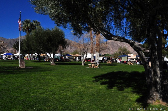
Had ourselves a short morning walk & noticed how hot it was already getting.  We had more people to meet so headed off into Borrego Springs.  Besides, it was market morning on Christmas Circle & I was looking forward to my annual shuffling of feet on the soft green grass.  We take grass for granted at home but here in this desert like setting, grass is a true luxury.  The kind you walk on of course:))

DSC_0024

I LOVE SHUFFLING AROUND ON THE GRASS

We had met another RVing couple a few years back while Ranch sitting near McNeal Arizona.  Fellow Canadians from the Ottawa area.  Thelma & Skip have been following our blog for a few years & dropped by the Ranch to say Hello.  They are leaving Borrego Springs this morning for 29 Palms so we arranged a visit at Christmas Circle.

DSC_0015

SKIP, THELMA & KELLY

But, just after parking our Jeep & before meeting them, I had walked over to have a look at another Jeep with a similar aerial to ours when from behind I heard.  “Hi Al, is that you??”  It was fellow RV’er Nina from WHEELING IT.  We knew Nina & Paul were somewhere in the area but hadn’t emailed them yet.  How great to meet her.  Paul hadn’t come into town & was with the rig out at the Clark Dry Lake Bed.  Kelly was already browsing in the market across the road so we hustled off to find her.  Of course with RV’ers it’s always a quick bond, especially with lateral interests like blogging & boon docking.   Had ourselves a great chat for about 20 minutes & both Kelly & I took a liking to Nina’s youthful warmth & charm.  Nina & Paul are leaving the area today heading back to San Diego & Nina had groceries to get.  Hopefully we will meet again somewhere down the road.

DSC_0012 

IT WAS GREAT TO MEET NINA THIS MORNING

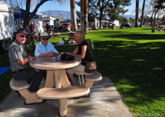
Minutes later Thelma & Skip spotted us in the crowd of market shoppers & we quickly commandeered a round cement picnic table in some partial shade.  Nice to touch base with these folks again.  They actually crossed the border at Port Huron just a couple of hours after we did back in November on our way to the Southwest.  When I had my kidney stone problem back in December they were in Tucson & emailed to say they would come to the hospital if needed.  Now, how’s that for thoughtful and caring people.  Thelma & Skip had to get rolling because they had to be out of Anza Borrego State Park by noon.  Take care guys & hope to see you again.

DSC_0017

Kelly scooped some avocados & tomatoes at the market & we headed on up the street.  Stopped at the Nature Store, a Pottery Store, the Thrift store, Grocery Store & a Camping store.  Kelly did the stopping while I did the sitting in the Jeep.

DSC_0016

FILE PIC FROM THE SALTON SEA A COUPLE DAYS AGO…BY THE WAY, ALL OUR FISH SMELLS HAVE COMPLETELY DISSIPATED:))

On the way back to the rig we stopped at the little Borrego Airport.  I was curious about that white Skydiving plane we saw here & suspected the sky might be full of Skydivers soon.  I was right.

DSC_0035

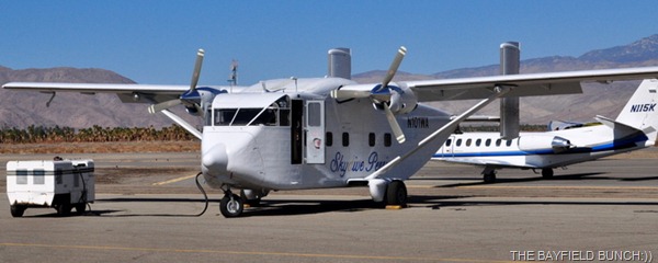
A PRECISION CANADIAN SKY DIVING TEAM USES THIS SHORT SC.7 SKYVAN FOR THEIR JUMPS 

A very friendly & helpful dispatcher guy told us a crack Canadian Skydiving team was here to train some American military personnel in the finer arts of leaping out of a perfectly good aircraft.  He even went on to tell us we could walk out onto the tarmac & talk to the jumpers & military people.  I wasn’t comfortable with that because why would these professional people in the midst of a training exercise want to stop & talk to a couple little Bozo’s from Bayfield Ontario.  What would we have said to these guys…"hey, how’s it going, eh”.   The airfield dispatcher told us where the drop zone would be sometime this afternoon.  We could see a lot of young guys over near one of the hangers packing chutes, etc.  Decided to head back to our rig & listen for the Skyvan to take off.

DSC_0034

SPOTTED THIS SPIFFY LITTLE NUMBER ROLLING IN

Sat outside listening for the big bulky Skyvan to lift off in the valley below about 3 miles away.  Dispatcher assured us we would hear it taking off.  I did hear 2 planes take off & the third one sounded heavier so picked it up in my binoculars & decided that could be it.  Hopped into the Jeep & raced to where I knew the drop zone to be about 8 miles away.  Kept watching the sky all the way there.  Parked, jumped out expecting to hear the heavy drone of an aircraft under heavy load high overhead.  Nothing!!  No sound & nothing to be seen in the sky.

DSC_0026

Stopped at the airfield on the way back & they said the boys had already jumped earlier so I missed it.  A second afternoon jump was scheduled but maybe not because of the increasing winds.  Back to the rig & waited for the sound of aircraft taking off again.  But, it never happened.  Am guessing they cancelled the jump because of wind.  Not likely to be any more jumping now because we have a weather front coming in tonight with high winds forecast for the next two days.  Too bad because I was looking forward to cracking off some groovy Sky Diver photos.

DSC_0019

KELLY USES THELMA’S CAMERA FOR SOME PICS >>>

Later in the day I heard a heavy drone high overhead & spotted the Skyvan in my binoculars flying straight & level in a northerly direction.  Assumed the plane may have been headed back to Canada.  But, one puzzling thing.  It appeared the large jump ramp was still open at the back of the plane……..  And, thanks to long time reader Tom up there in that Alaska place for identifying that plane for me saying, “You found my old office I worked in at my days with Arctic Circle Air. That is a wonderful Shorts Skyvan. It looks strange, but is fun to fly and a real money maker.”  Thanks Tom:)) SHORT SC.7 SKYVAN.  The plane is affectionately called "the shed" by pilots and crew.

DSC_0028

And, a quiet thank you to our neighbor for not cranking up his radio up today.  Very much appreciated by all of us here at the Bayfield Bunch:))  I always figure if a person wants to make, or be around noise, then just go to where noise lives & have yourself a blast.  Leave the quiet desert for those of us who love & appreciate it:))

Plenty warm again today & I think we got up to around 82F with a big blue sky & some high wiffy clouds.

DSC_0031

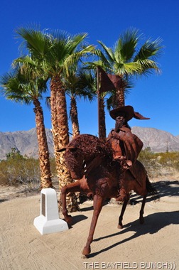
STATUE OF JUAN BAUTISTA DE ANZA BEZERRA NIETO, THE MAN WHO EXPLORED THROUGH MANY CALIFORNIA AREAS & FOR WHO ANZA-BORREGO STATE PARK IS NAMED

GROANER’S CORNER:((  A pastor of a church is sitting in his study when the phone rings.

"Hello, is this Reverend Jones?" the caller asks.

"It is." replied the pastor.

"This is Bill Johnson with the Internal Revenue Service. I was wondering if you could answer a few questions?"

"I'll try." said the pastor.

"Do you know a John Timmons?"

"I do."

"Is he a member of your congregation?"

"He is."

"Did he donate $10,000 to the church?"

"He will."

---------------------------------------------------------------------------
-Tourists see the world, travelers experience it.
- Home is where your pet is:))
BAYFIELD BUNCH PHOTO ALBUMS https://picasaweb.google.com/117858411710794543295
The only thing better than right now will someday be the memories of
right now...AL.
stargeezerguy@gmail.com