Saturday’s winds did not let up & blew right through the night rocking the coach a few times. Not as bad as the Borrego winds but enough to wake us up once or twice. Only fly in the ointment this trip so far has been the winds driving the temperatures down. Have only sat outside a short time after arriving this past Thursday. Had to have some heat on in the night again when temps dropped into the high 30’s. Winds-Winds go away & come on back another day. And by golly away the winds did go this morning shortly after I typed that. We ended up having us a warmer weather day:))
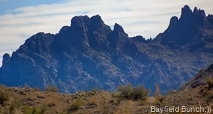
OUR DESTINATION THIS MORNING IS SOMEWHERE AROUND CASTLE DOME PEAK ON THE HORIZON
With about as much dust coating the inside of the Jeep as the outside we were on the road again shortly before 9. Keep in mind if you don’t like dust these South-West desert back roads may not be for you. Our destination this morning was the location of the McPherson Tank somewhere north of Castle Dome Peak.
CASTLE DOME PEAK
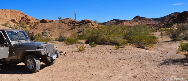
LEG STRETCH BREAK PLUS THE DESERT CAN TRULY BE A MIGHTY DUSTY PLACE
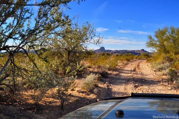
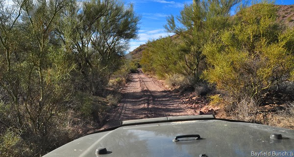
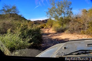
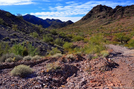
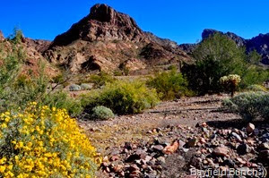
Heading East on King Valley road we turned off on a Jeep road at marker 76 & headed South. We noticed an immediate change in the desert flora. Wasn’t long & we were into a lot of greenery. Kind of like a forest of shrubbery with some Mesquite & Palo Verde trees towering to 30 & 40 feet. Motoring along some dry creek beds was a bit akin to moving through some light jungle foliage. Enough so we picked up some nice additional desert pin striping. Brittle bushes were blooming with yellow flowers. A few spots we couldn’t see around tight corners because of high bushes. This all just added to the beauty of the area. We drove 6 or 7 miles through the green desert terrain & I would recommend this scenic drive to anyone with a 4 wheel drive high clearance vehicle.
THE SONORAN DESERT’S IDEA OF A GREEN FOREST
THINK WE MIGHT HAVE SOME DESERT PIN STRIPING COMING UP HERE
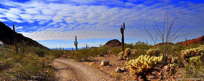
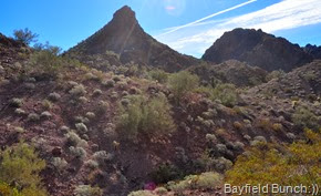
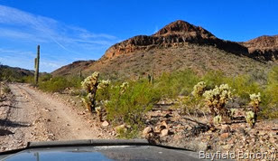
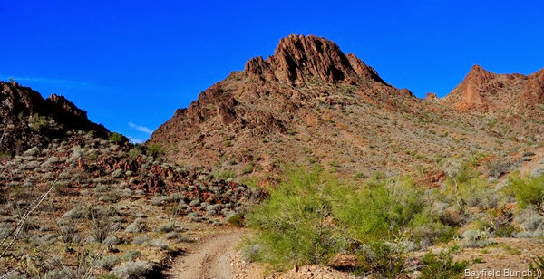
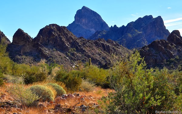
All the while we are twisting & turning along the dusty desert road we are slowly edging closer to the Castle Dome Mountain range ahead. With each mile the bulky mountains loom closer. At times we are heading straight for Castle Dome Peak itself.
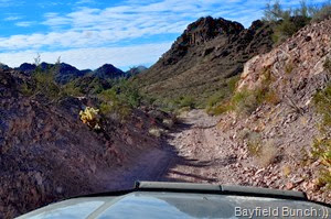
NO GUARDRAILS ON THESE JEEP TRAILS
We reached marker 56 & continued straight ahead. Awhile later in a wash we passed marker 53 bearing left. But it was somewhere a few miles after the 53 marker where we made some kind of a GPS error & missed McPherson Tank. Didn’t know it at the time so we just kept on going winding our way into the mountain range. I think we were too enthralled with the surrounding scenery to pay any attention to what it was we had actually set out to find. We were just simply beckoned onward by the majestic Castle Dome mountains.
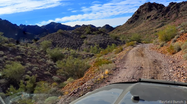
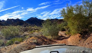
Scenery around us began changing from beautiful to magnificent as we started gaining altitude into the mountain range. The road became noticeably rougher as the scenery became noticeably nicer. Spectacular would be a better word. Wash-outs were steeper & ruts were deeper as we jostled over bare rock facings & small boulders. There was no turning back at this point. The scenery all around just kept drawing us further into the mountains. No matter how rough the road one just wanted to go up & around the next hump & bump to see what was on the other side. Long sweeping Canyons, rock cliffs going straight up, & greenery everywhere including countless Saguaros.
We did have to stop the Jeep at one point in the McPherson Pass to get out for a look see at the trail ahead. Had to move a few small boulders & back up to reposition the Jeep before easing down slowly over some sharp rocks & deep ruts. Jeepers never balked at the task & never bottomed out anywhere. For a stock Jeep she is a tough little soldier. It was about this point we realized we were actually at the peak of the Pass because through a mountain gap ahead I could see a large Valley playing out below us to the far horizon. It was the sweeping Castle Dome Plain stretching all the way over to the Chocolate Mountains in California. We knew we were somewhere near & North of Castle Dome Peak.
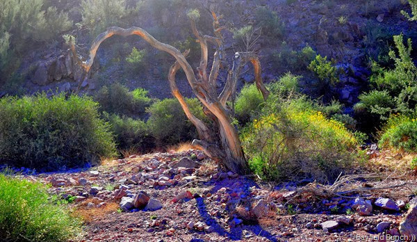
A DESERT SNAKE TREE GROWING IN THE MOUNTAINS
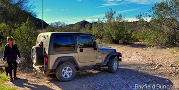
KELLY CHECKS A SPOT IN THE ROAD
A HILLSIDE MINE SHAFT IS EVIDENT BECAUSE OF THE FRESHLY DUG OUT EARTH
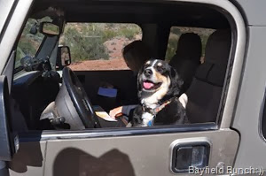
TAKE A REST DAD I’LL DRIVE
From this point we began our descent down & through the West side of the Castle Domes. It was when we came across a couple parked Jeeps that we realized our GPS error. We knew then we had missed our McPhearson Tank target. No matter though because this road had led us through some of the greatest scenery today. The McPherson Tank is a 3 mile round trip hike to reach it & I’m not sure we were up for that length of walk to day anyway. The Castle Dome Plains began opening up more as we slowly descended the improving gravely road. Stopped for a turkey sandwich lunch at one point. With binoculars I could see Mittry Lake in the distance & had it been night time we probably could have seen the lights of Yuma.
OUR IDEA OF A SUPERBOWL SUNDAY TAILGATE PARTY
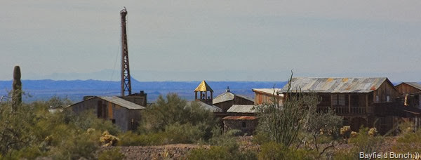
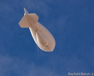
At last we were back down on the desert floor. A lot of mines & mine shafts in this area but we had a good idea where we were because all the time as we were driving we could see the large Border Patrol Blimp in the air. And we knew exactly where that Blimp was anchored from a previous trip to this area in 2010. This was confirmed when we saw a cluster of old buildings in the distance. We rightly assumed this old mining site was in fact the CASTLE DOME MINES MUSEUM & GHOST TOWN. You can read my post from 2010 when Kelly & toured around this great old western town museum. There is a lot to see here. Kelly even signed her Dad’s name on a wall of Veterans in one of the old buildings. It’s probably still there. My post for that day on February 7th 2010 is HERE.
Wasn’t too long & we were right underneath the Blimp itself heading for highway 95 a short distance to the West. We were now also on the military’s Yuma Proving Grounds.
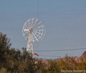
THE BLIMP & WHAT I ASSUME IS IT’S MOORING MAST AT IT’S BASE…LOOK CAREFULLY & YOU CAN SEE IT’S TETHER LINE RUNNING UP FROM THE MAST…ALSO ASSUME THAT LARGE BELLY BULGE IN THE BLIMP IS FULL OF ELECTRONIC SURVEILLANCE EQUIPMENT
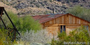
Nice to be back on pavement again. It gave us a chance to get all our bones re-adjusted & back into place. Bouncing around inside the Jeep like a trio of ping pong balls does take it’s toll after awhile. Even the Pheebers was upside down. We made it back to the rig around 1 P.M. It had been a mighty fine 4 hour Jeep Jumble for us. Just a great day for motoring us through some of the nicest desert/jungle terrain we have seen. Tomorrow?? We just might try to locate us a cabin we’ve heard about somewhere in the North end of King Valley back up in the Kofa Mountain Range.
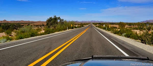
HEADING NORTH ON 95’S NICE SMOOTH PAVEMENT:))
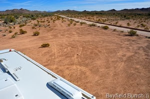
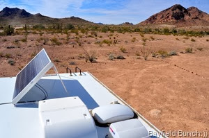
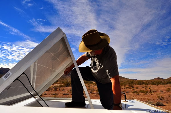
When we set up camp Thursday we faced our side door north to take advantage of shade on what we thought were going to be some very warm days. Didn’t happen so today when we returned from our day trip I turned the rig around so our side door would face south to maximize the sun’s warmth on these cooler days. Also decided to put our solar panel up & it’s easier to do if the rig’s nose faces East. Solar panel can tilt up either way. We do just fine with the panel laying flat on the roof but I just had me a hankering to put it up today anyway.
TURNED THE RIG AROUND THIS AFTERNOON SO SIDE DOOR FACES THE WARM SUN
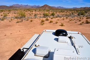
LOOKING EAST & WEST
PUTTING THE SOLAR PANEL UP IS SO MUCH EASIER NOW WITH 1 LARGER PANEL INSTEAD OF 2 SMALLER ONES
Noticed a couple new folks on our ‘Friends’ list this morning. First is David Tim Monsva. Couldn’t get your Blogsite to open Dave but I did see this LINK just above it. It may or may not be you. Thanks for stopping by:)) CINDIE NUNEZ also dropped in on the Bayfield Bunch’s ‘Friends’ list this morning bringing our Friend Connect list up to 639. Thanks for dropping by Cindie:))
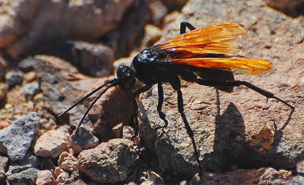
NO IDEA WHAT THIS FELLOW WITH THE PRETTY AMBER WINGS IS
AND NO IDEA WHAT THESE FLOWERS IN THE MOUNTAINS WERE
BUT FOR SURE WE KNEW BY THE SIZE OF THESE EARS THERE WAS A JACK-A-LOPE HIDING IN THE BUSHES
And also noticed a few folks have expressed an interest in our Saturday Gray Tank hike. Here are the directions to reach the trailhead. Between Quartzsite & Yuma turn off highway 95 at the Stone Cabin onto King Valley Road. Proceed a few miles in & go past the Kofa roofed kiosk. About another quarter mile keep a sharp look-out on your right for mile marker 42. Turn south on this Jeep road. High clearance vehicles & 4 wheel drive recommended but I think our 2 wheel drive high clearance Santa Fe could actually do this road. Toughest part of the road is at the beginning. We have seen big tired high clearance SUV’s on this road. Drive for 2.5 miles & watch for a campsite with a rocky rimmed fire pit on your left. Pull in here. If you miss the campsite the road goes for another quarter mile & dead ends at Horse tank. Lots of turn around space & your going to want to see Horse tank anyway. Back at the fire pit campsite face East & you will see a gap running between two ridges. Hike up the left ridge & keep your eyes to the left for Sleeping Man cave. Hike up the end of the ridge on the right for Grinding Hole Cave. Straight through between the ridges will take you to a wash where you can turn right & hike half a mile to Gray Tank. Here are the GPS co-ordinates for Gray Tank…..N-33* 12.480 W-114*12.015
PARKED BESIDE FIRE PIT RING SLEEPING MAN CAVE IS ON THE LEFT RIDGE & GRINDING CAVE ON THE RIGHT RIDGE…THE DRY CREEK BED WASH IS STRAIGHT THROUGH ON PATH AT RIGHT
And now nice tonight when I went out with Pheebs to have a look at the stars. No wind:)) Temperatures have come up & we have a nice quarter Moon in the sky with a few high clouds slowly drifting over. A pale yellow glow on the horizon to our South-West tells me Yuma is just beyond the mountains about 50 miles. A small denser glow in the East tells me Phoenix is 130 miles East of us. They sure must have one heck of a lotta light bulbs in that Phoenix place…Yousa!!
GROANER’S CORNER:(( Adam, an elderly man was seated in the doctor's waiting room. When he was called in to see the doctor, Adam slowly got up, and, grasping his cane and hunching over, slowly made his way into the examining room. After only a few minutes, Adam emerged from the room, walking completely upright. Paul, another patient who had watched him hobble into the room all hunched over, stared in amazement. 'That must be a miracle doctor in there.' he exclaimed. 'What treatment did he give you? What's his secret?' Adam stared at Paul and said, 'Well, the doctor looked me up and down, analyzed the situation, and gave me a cane that was four inches longer than the one I had been using.'


















Al, I'm sure you guys know to check your air filter more frequently after being out on those dusty roads. I have to change mine way more often when I'm out in the backcountry like that. It seems obvious, but is easy to forget.
ReplyDeleteAnother really fine day. Makes me sorry I didn't make it to AZ this year like I'd planned. I have family in Phx and Tucson both.
You certainly went over a lot of rough terrain today bt it was worth the drive.
ReplyDeleteThanks for taking me along today. It was beautiful. I especially liked the snake tree. I had no idea there was so much vegetation in the area.
ReplyDeleteDon't know what the orange flowers are but they're sure pretty. Lots of great scenery today.
ReplyDeleteLoved the groaner!!
You sure have some great adventures and your writings are easy to follow...... thanks for sharing your journeys..... oh and look toward Phoenix, do you see that flashing light? Well thats me flipping on and off my patio light. ha ha... sleep well.
ReplyDeletePeace and blessings with you tonight in Jesus name.
cindie
What great adventures you all have! Thanks for sharing them with us.
ReplyDelete~~Cheryl Ann~~
Nothing quite like wandering about the wilderness, in you jeep. Enjoyed todays pictures too.
ReplyDeleteThanks, Al! The desert is beautiful. What a great Jeep drive. Glad you brought us along:)
ReplyDeleteWOW Al, your photos were stunning today!!
ReplyDeleteThat road reminded me of the road we took to Charlie Bell Pass in Ajo...took us 1 1/2 hours to do 13 miles...But we saw some Mountain Antelope along the way..WOOT!WOOT!
ReplyDeleteWhat an awesome read and beautiful pictures! It's funny you mentioned the dust. We are still carrying around Moab dust from last year in Pearl (our Jeep). I'll take your tailgate party anytime!
ReplyDeletewe read your blog everyday, and are continually amazed at the wonderful pictures. They will give us some southwest love as we head back. Thank you so much for your kind words. BTW, winter time in the Collingwood/Georgian Bay area is ooo no place to be! You are in the right place, even if the temperatures are low for here....
ReplyDeleteI thinks you be correct on that fiberglass bubble under that blimp.
ReplyDeleteNow that Rabbit with the high gain ears did not raise any suspicion with you, did it.
Thanks for the great jeep romp. I might try it in a rental car, that's what is expected right?
http://en.wikipedia.org/wiki/Tarantula_hawk
ReplyDeleteAs always, you have such a knack for great pictures. I always feels like I am right there along with you, Kelly and Pheebs. Beautiful desert scenery, who knew????
ReplyDeleteGorgeous pictures for a gorgeous looking landscape. We are eager to take it all in again soon.
ReplyDeleteLooks like ya'll had a great jeep day. Thanks for the directions. We are heading to Mittry Lake tomorrow, so May follow your footsteps.
ReplyDelete