WE ARE SNUGGLY NESTLED IN BESIDE THE ENCHANTING KOFA MOUNTAINS
They were faint but I saw the Scorpions claws rising over the Kofa mountains this morning in the pre-dawn hours. The constellation Scorpios is one of my favs. To find Scorpios in the sky just follow the Big Dipper’s handle towards the horizon. Look for the bright star Antares. That is where the heart of the Scorpion lies. And did I mention the deafening silence here. Not a sound to be heard anywhere. Nothing. No People noise, no Coyotes, no nothing. Love it, love it, love it:))
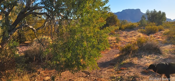
PHEEBS HAD HER HACKLES UP ABOUT SOMETHING UNDER THAT TREE THIS MORNING
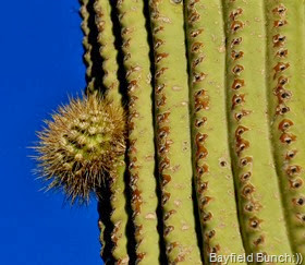
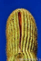
?? BIRD…A BABY SAGUARO ARM & A SPLIT SAGUARO ON OUR MORNING WALK
It was 9:30 a.m. & we were in the Jeep & on our way again. First stop this morning….Quartzsite. Needed some gas, a McDonald’s coffee, couple small propane bottles for our Buddy heater & couple jugs of Cranberry juice. Noticed right off coming into the Q how activity had increased from just 3 days ago. More rigs in the desert, vendor tents going up fast & the streets were busier. Flags are flying & RV dealers have their spiffy new rigs for sale just a sparkling.
IN A FEW WEEKS ALL THE SPACES BETWEEN THESE RIGS WILL BE FILLED IN WITH MORE RIGS
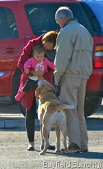
THESE 2 LITTLE DOGS SURE TOOK A LIKING TO PHEEBS & DOGGY MEETS BABY AT McDONALDS
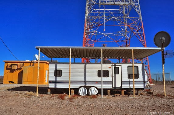
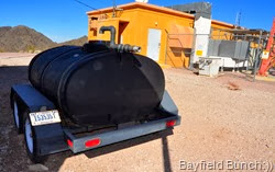
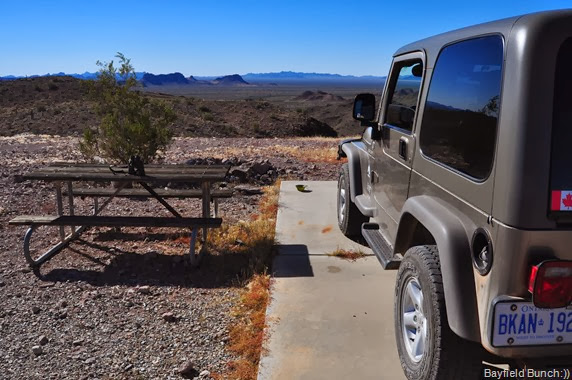
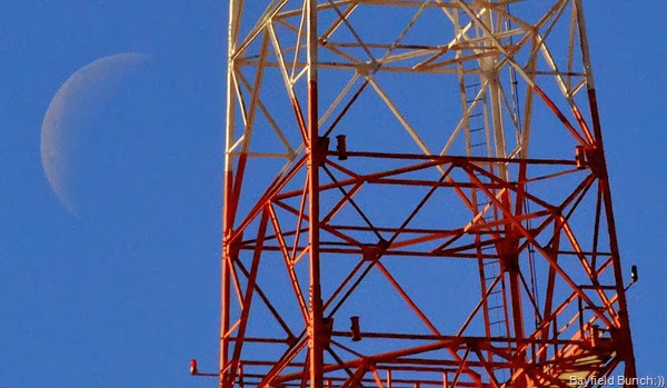
We didn’t linger long in town & headed south back down highway 95 looking for mile marker 93. Ann had told us about Red Rock Tank & Jasper Springs. Found the road & headed East into the desert in the direction of the Kofa Mountains northerly edge. The gravel road was in unusually good shape. From our campsite near Palm Canyon we could see a micro-wave tower about 10 miles north of us. This road led to that tower plus another road which would take us to our destination. First we headed to the end of the long gravel road to have us a look at the tower. Last mile up to the tower was bit grumpy. Nice view from up there of the surrounding valleys. No idea what the pods on this tower are for but there was an empty on-site travel trailer there which did not appear to be currently lived in. Big portable water tank complete with pump alongside. License plates on the wheeled trailer said, ‘United States Government.’ That always makes me a bit nervous.
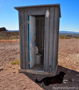
PHEEBS TAKES A BREAK BY THE OUTHOUSE
AND THIS BLACK WATER TANK BELONGS TO THE U.S. GOVERNMENT….OR ELSE!!
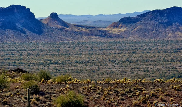
VIEW FROM THE TOWER HILLTOP LOOKS DIRECTLY TOWARDS YUMA…OUR CAMPSITE IS IN THE VALLEY STRAIGHT AHEAD JUST TO THE RIGHT & OTHER SIDE OF THAT KNOBBY MOUNTAIN
ROAD LEADING UP TO THE TOWER & NO IDEA WHAT ALL THESE TUBE AFFAIRS ARE ON THE TOWER
JEEPERS, ON A CEMENT SLAB AT THE TOWER IS FACING TOWARDS YUMA ABOUT AN HOUR FROM OUR CAMPSITE ON PALM CANYON ROAD
A FADING QUARTER MOON BEHIND THE BIG TOWER
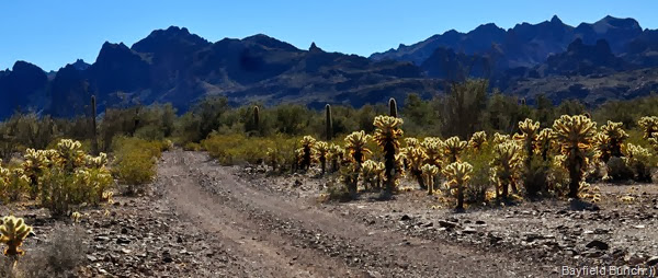
From the tower we back tracked a few miles & picked up a desert road heading southeast.
MOTORING TOWARDS THE KOFAS THROUGH A CHOLLA GARDEN
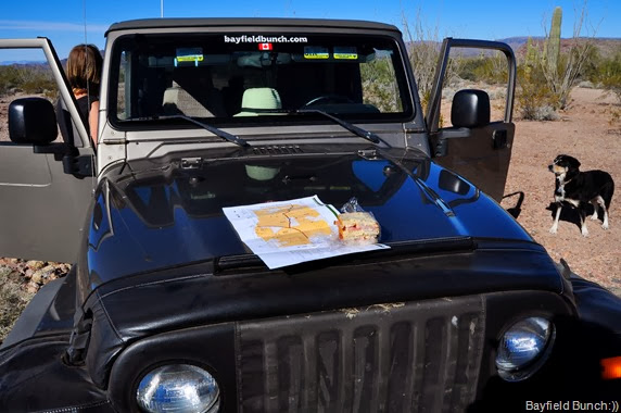
At marker 25 we unknowingly made a wrong turn & after awhile that wrong turn began a ‘little discussion’ between us about where we actually were. Now keep in mind we were not lost, we had just temporarily misplaced ourselves & were in a state of slight confoozlement. The brochure map we had was probably looked at about a dozen times in the next 10 miles until I finally got out & took a compass bearing & aligned the map. More discussions. Wasn’t until we reached marker 24 that we knew for sure we were on the wrong road. Do we have a GPS? Yes we do but it’s in the rig packed away somewhere. We have never been big GPS people. Takes the fun out of confoozling oneself.
HOLDING THE MAP DOWN WITH MY HAM SANDWICH WHILE I CHECK MY COMPASS
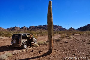
TEMPORARILY CONFOOZELED WE ARE STOPPED TO FIGURE THINGS OUT
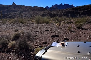
YEP THERE’S MARKER 24 OUT THERE SO WE GOTTA TURN AROUND
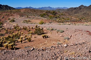
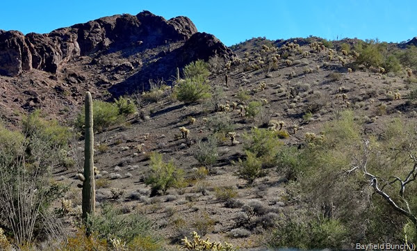
But even without a map I still new where we were & the Kofa Mountains on our right told me we were on the east side of them. I’m getting more & more familiar with the location of the distinctive peaks with each passing day. Of course the area we were in again was totally beautiful with it’s rolling hills & valleys leading right up to the edge of the towering mountains. The road was definitely high clearance 4 wheel drive stuff. But we hadn’t met the Jasper Springs road yet!!
HEADING BACK TO GET OURSELVES ON THE RIGHT ROAD
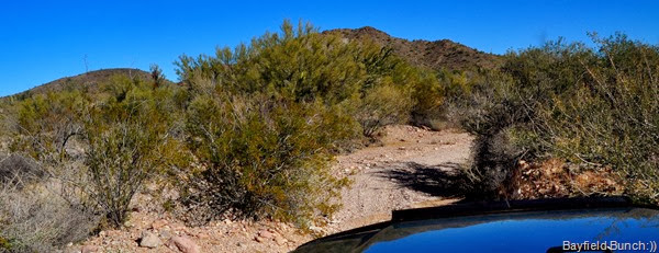
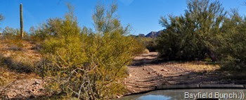
At marker 24 after confirming we were heading in just about the opposite direction we should be we turned around & retraced our steps back along the rough & tumble road we had just traveled. But not before eating a couple ham sandwiches we had brought along. Back at marker 25 we finally made a correct right turn onto a road that at times wasn’t much more than a nothing. In fact it turned out to be about the most challenging trail we have had the Jeep on so far. We traveled sand & gravel river bottoms, nosed the Jeep into washes that had us looking down at the ground & dragging the Jeep’s tailbone up the other side. Never once did little Jeepers falter or balk at what it was designed to do. As sure footed as a Mountain Goat. Mesquite, Palo Verde, & Creosote trees crowded in on us & I was glad we had a small Jeep Wrangler & not a larger vehicle. We climbed some rock shelves & eased our way over many small boulders which snapped our heads around like they were on coiled springs. Pheebs in the back on her big cushy soft bed hung on with all 4 paws. And the gorgeous scenery all around us just kept going & going & going.
HAVING A SMALLER VEHICLE HAS IT’S ADVANTAGES
KELLY BUILDS A STONE MARKER SO THE RESCUE HELICOPTER CAN FIND US:))
We jostled & bounced along for a fair long ways but no sign of the Red Rock Tank or Jasper Springs. Of course out here in the mountains & deserts of the west things are not often marked. Despite both of us carefully looking for something to indicate either of the two things we had set out to find we didn’t see a thing. Don’t know how far we had gone but decided after easing our way down a rocky section into a wash it was time to stop & turn around. And then……a coincidence.
WELL WE’RE SOMEWHERE, BUT WHERE…IS THIS RED ROCK TANK OR JASPER SPRINGS OR,SOMETHING ELSE??
There was enough room in the damp sandy wash to turn around so we did that & decided to get out for a stretch & give Pheebs a run. Soon as Kelly got out of the Jeep she spotted some rusted iron railings through the trees. We knew right away we had found something. Walking over we could see it was a heavily grown in wet area. Almost swamp like. But we had no idea if this was Ruby Tank or Jasper Springs. Nothing anywhere to tell us either. And tonight at the time of writing this we still don’t know which place we were at if in fact we were at either one of them. We’ll talk again to Bill & Ann & they will know.
STOPPED IN A DAMP SANDY WASH BESIDE WHEREVER IT WAS WE WERE
THE CLIMB BACK OUT OF THE WASH WAS A LITTLE ON THE STEEP & ROCKY SIDE BUT NO PROBLEM FOR JEEPERS
KELLY LOOKS OFF IN THE DIRECTION OF HOME AS WE BEGIN OUR 26 MILE ROUGH & TUMBLE JOURNEY BACK
It was 2:20 in the afternoon & we had been on the road since 9:30 this morning. It was time to head Jeepers for home. We were tired from all the rough & tumble fun today. I set the odometer & it turned out we were 26 miles from our campsite. What another great day we had. Just makes one happy to be alive when one can get out & be a part of all this great land surrounding us offering so much. Do I get myself a little excited, maybe a little over the top sometimes? Sure I do. Are my posts too long? Sure they are. Too many photos in my posts? Yep, you bet. But if you were me & saw this land with all the true beauty it has to offer you just might be a little excited, a bit over the top, longwinded, & just a tad camera crazy too……………….:))
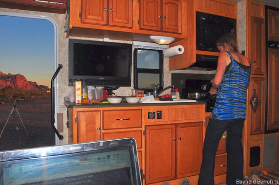
SOUP’S ON AS WE WIND OURSELVES DOWN ANOTHER MIGHTY FINE DAY IN THE GREAT OUTDOORS
GROANER’S CORNER:(( It seems that Mary Poppins has moved to California. She has started a business telling people's fortunes. But, she doesn't read palms or tea leaves, she smells one's breath. The sign outside her place of business reads: Super California Mystic Expert Halitosis.
-------------------------------------------------------------
- Tourists see the world, travelers experience it.
- Home is where your pet is:))
- "If having a soul means being able to feel
love and loyalty and gratitude, then animals
are better off than a lot of humans."
(James Herriot)
- The pessimist complains about the wind; the optimist expects it to change; the realist adjusts the sails -William Arthur Ward
- The only thing better than right now will someday be the memories of right now...AL.
- It is not so much having nothing to do as it is not having the interest to do something....AL.










That was one cool day! Oh, how I wish we were there! Nope, we still be in Alabama....where, at least, it is fairly warm and sunny.
ReplyDeleteIt doesn't mater where you get to as long as you enjoyed it ANDyou were able to find the way back home! Glad to be able to ride along via your posts.
ReplyDeleteYour posts aren't too long and you don't have too many pictures. You are in a great part of the county and we really enjoy reading of your adventures and seeing ALL the pictures. You have some really great pics Al.
ReplyDeleteHello! I recently found your blog and wanted to say hi, and how much I enjoy your posts! My hubby and I love taking back roads, off the beaten track as often as we can. There are plenty of Forest Service roads within a short drive from our home in northern Georgia, and we spend many a Sunday afternoon rambling and following our noses in Clyde, our pickup. 2014 will be my husband's last year to work, and will retire after 42 years with the same company on 12/31/14. Then, Lord willing, we will hit the road and do some long term rambling ourselves. Happy New Year!
ReplyDeleteYour posts can be as long as you want and have as many pictures as you want.
ReplyDeleteIt is your Blog, and your memories and excitement is being recorded.
Like you we have never been lost, take the scenic route a few times, but thats why we are out there touring around.
Have keep having fun.
Al, It's good to see you enjoying yourselves in your natural environment!
ReplyDeleteWhat a fantastic day!! So glad we got rid of our motorcycle and bought the Jeep. Lots of adventures in those hills! Have fun and be safe:)
ReplyDeleteYet another great trip into the wilds. And boy you seem to have that typical blue-sky beautiful weather.
ReplyDeleteLove your long posts...Long wonderful days require long, wonderful blogs!
ReplyDeleteEach one of the horns on that tower should have had a cable coming out of it and I didn't see any. It may be abandoned. These towers were used by AT&T back in the sixties and seventies to transmit telephone circuits, TV and radio programming across country. I am sure they have been replaced by satellites.
ReplyDeleteThose empty tubes on the tower are actually refueling garages for the alien space craft coming out of area 51 on their way to roswell or visa versa.
ReplyDeleteLoved your post today. It's your post, make it as long as you want and as many pictures as you want and we'll keep right on reading and looking. You are our eyes in the area and we are enjoying everything you show us. Someday, we'll get there again. ;)
ReplyDeleteWhat a view from your door!
ReplyDeleteHi Guys - The plate you saw on the trailer is what we call an "I" plate meaning it belongs to the Department of Interior. In that area probably BLM. Great ride today, we will be in that area next week and will give it a try ourselves. Thanks for the kinda directions. Keep on havin fun! ! Becki
ReplyDelete